Area Overview for SR3 3LT
Photos of SR3 3LT
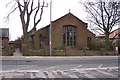
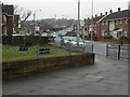
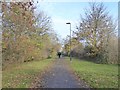
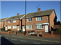
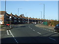


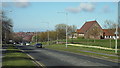

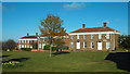
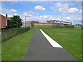
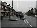
18 photos from this area
Area Information
Key information about the SR3 3LT including its size, population, and administrative classification.
- Area Type
- Postcode
- Area Size
- 2.2 hectares
- Population
- 1359
- Population Density
- 1028 people/km²
House Prices in SR3 3LT
38
Properties
£197,428
Average Sold Price
£67,500
Lowest Price
£399,999
Highest Price
Showing 38 properties
| Address | Type | Beds | Baths | Last Sale Price | Last Sale Date | |
|---|---|---|---|---|---|---|
| 18 Cairnside, Sunderland, SR3 3LT | Semi-detached | 3 | 1 | £245,000 | Jul 2025 | |
| 6 Cairnside, Sunderland, SR3 3LT | house | 4 | - | £279,950 | Sep 2022 | |
| 22 Cairnside, Sunderland, SR3 3LT | house | - | - | £283,500 | Sep 2021 | |
| 15 Cairnside, Sunderland, SR3 3LT | house | - | - | £275,000 | Jun 2021 | |
| 29 Cairnside, Sunderland, SR3 3LT | house | - | - | £220,000 | Mar 2021 | |
| 10 Cairnside, Sunderland, SR3 3LT | Semi-detached | 3 | 1 | £205,000 | May 2019 | |
| 17 Cairnside, Sunderland, SR3 3LT | Detached | 5 | - | £399,999 | Nov 2018 | |
| 24 Cairnside, Sunderland, SR3 3LT | Semi-detached | 3 | 1 | £185,000 | Nov 2018 | |
| 32 Cairnside, Sunderland, SR3 3LT | Semi-detached | 4 | 2 | £195,000 | Mar 2016 | |
| 23 Cairnside, Sunderland, SR3 3LT | Semi-detached | 3 | - | £155,000 | Apr 2013 |
Page 1 of 4
Energy Efficiency in SR3 3LT
Amenities
Schools
| Rank | School | Type | Entry gender | Ages |
|---|
Explore more schools in this area
Go to Schools tabDemographics
Household Size
N/A
most common
Accommodation Type
N/A
most common
Tenure
N/A
majority
Ethnic Group
N/A
most common
Religion
N/A
most common
Household Composition
N/A
most common
Age
N/A
median
N/A
most common
Household Deprivation
N/A
with no deprivation
NS-SEC
N/A
in Lower managerial occupations
Explore more demographic insights in this area
Go to Demographics tabPlanning
Planning Constraints
- Flood RiskPremium
- Ramsar Wetland SitesPremium
- Area of Outstanding Natural BeautyPremium
- Protected Nature ReservePremium
- Protected WoodlandPremium