Area Overview for SR3 2DH
Photos of SR3 2DH
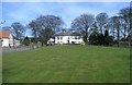
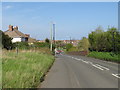
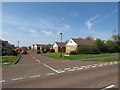
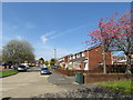
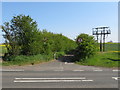
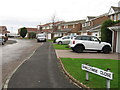
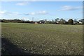
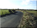
8 photos from this area
Area Information
Key information about the SR3 2DH including its size, population, and administrative classification.
- Area Type
- Postcode
- Area Size
- 3.0 hectares
- Population
- 2287
- Population Density
- 77063 people/km²
House Prices in SR3 2DH
50
Properties
£94,254
Average Sold Price
£37,000
Lowest Price
£155,000
Highest Price
Showing 50 properties
| Address | Type | Beds | Baths | Last Sale Price | Last Sale Date | |
|---|---|---|---|---|---|---|
| 23 Pembroke Avenue, Sunderland, SR3 2DH | house | - | - | £140,000 | Oct 2022 | |
| 62 Pembroke Avenue, Sunderland, SR3 2DH | Semi-detached | 3 | 1 | £155,000 | Jun 2022 | |
| 50 Pembroke Avenue, Sunderland, SR3 2DH | Semi-detached | 2 | - | £125,250 | Jul 2021 | |
| 13 Pembroke Avenue, Sunderland, SR3 2DH | house | 2 | 1 | £79,950 | Dec 2018 | |
| 24 Pembroke Avenue, Sunderland, SR3 2DH | house | - | - | £115,000 | Jul 2018 | |
| 22 Pembroke Avenue, Sunderland, SR3 2DH | house | - | - | £80,000 | Jun 2016 | |
| 36 Pembroke Avenue, Sunderland, SR3 2DH | house | 2 | - | £72,500 | Oct 2015 | |
| 25 Pembroke Avenue, Sunderland, SR3 2DH | house | 2 | - | £75,000 | Jul 2015 | |
| 46 Pembroke Avenue, Sunderland, SR3 2DH | Terraced | - | - | £106,600 | Sep 2006 | |
| 31 Pembroke Avenue, Sunderland, SR3 2DH | Semi-detached | - | - | £97,000 | Nov 2004 |
Page 1 of 5
Energy Efficiency in SR3 2DH
Amenities
Schools
| Rank | School | Type | Entry gender | Ages |
|---|
Explore more schools in this area
Go to Schools tabDemographics
Household Size
N/A
most common
Accommodation Type
N/A
most common
Tenure
N/A
majority
Ethnic Group
N/A
most common
Religion
N/A
most common
Household Composition
N/A
most common
Age
N/A
median
N/A
most common
Household Deprivation
N/A
with no deprivation
NS-SEC
N/A
in Lower managerial occupations
Explore more demographic insights in this area
Go to Demographics tabPlanning
Planning Constraints
- Flood RiskPremium
- Ramsar Wetland SitesPremium
- Area of Outstanding Natural BeautyPremium
- Protected Nature ReservePremium
- Protected WoodlandPremium