Area Overview for SR3 2DD
Photos of SR3 2DD
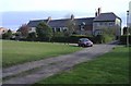
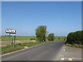
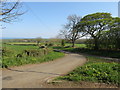
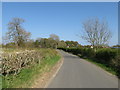
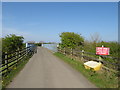
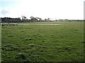
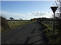
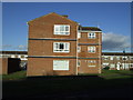
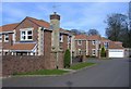
10 photos from this area
Area Information
Key information about the SR3 2DD including its size, population, and administrative classification.
- Area Type
- Postcode
- Area Size
- 11.8 hectares
- Population
- 1532
- Population Density
- 272 people/km²
House Prices in SR3 2DD
92
Properties
£404,995
Average Sold Price
£296,495
Lowest Price
£539,995
Highest Price
Showing 92 properties
| Address | Type | Beds | Baths | Last Sale Price | Last Sale Date | |
|---|---|---|---|---|---|---|
| 4 Leighfield Drive, Sunderland, SR3 2DD | Detached | 4 | 2 | £310,000 | Jun 2025 | |
| 31 Leighfield Drive, Sunderland, SR3 2DD | house | - | - | £390,000 | Aug 2024 | |
| 52 Leighfield Drive, Sunderland, SR3 2DD | house | - | - | £389,995 | Jul 2023 | |
| 55 Leighfield Drive, Sunderland, SR3 2DD | house | - | - | £409,995 | Jul 2023 | |
| 53 Leighfield Drive, Sunderland, SR3 2DD | house | - | - | £514,995 | Jul 2023 | |
| 58 Leighfield Drive, Sunderland, SR3 2DD | Detached | - | - | £429,995 | Jul 2023 | |
| 38 Leighfield Drive, Sunderland, SR3 2DD | house | - | - | £423,995 | May 2023 | |
| 12 Leighfield Drive, Sunderland, SR3 2DD | Retail | 5 | 4 | £490,000 | May 2023 | |
| 41 Leighfield Drive, Sunderland, SR3 2DD | house | 5 | 4 | £539,995 | Apr 2023 | |
| 39 Leighfield Drive, Sunderland, SR3 2DD | house | - | - | £371,995 | Jan 2023 |
Page 1 of 10
Energy Efficiency in SR3 2DD
Amenities
Schools
| Rank | School | Type | Entry gender | Ages |
|---|
Explore more schools in this area
Go to Schools tabDemographics
Household Size
Two person
most common
Accommodation Type
Houses
most common
Tenure
84
majority
Ethnic Group
White
most common
Religion
N/A
most common
Household Composition
N/A
most common
Age
47
median
Adults (30-64 years)
most common
Household Deprivation
N/A
with no deprivation
NS-SEC
34
in Lower managerial occupations
Explore more demographic insights in this area
Go to Demographics tabPlanning
Planning Constraints
- Flood RiskPremium
- Ramsar Wetland SitesPremium
- Area of Outstanding Natural BeautyPremium
- Protected Nature ReservePremium
- Protected WoodlandPremium