Area Overview for SR3 1XL
Photos of SR3 1XL
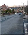
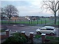
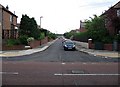
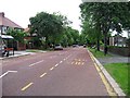
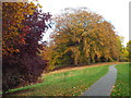


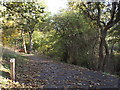
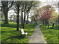
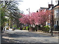
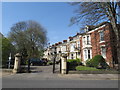
46 photos from this area
Area Information
Key information about the SR3 1XL including its size, population, and administrative classification.
- Area Type
- Postcode
- Area Size
- 7968 m²
- Population
- 1372
- Population Density
- 4569 people/km²
House Prices in SR3 1XL
14
Properties
£248,150
Average Sold Price
£105,000
Lowest Price
£382,500
Highest Price
Showing 14 properties
| Address | Type | Beds | Baths | Last Sale Price | Last Sale Date | |
|---|---|---|---|---|---|---|
| 152 Queen Alexandra Road, Sunderland, SR3 1XL | Detached | 4 | - | £360,000 | Apr 2022 | |
| 154 Queen Alexandra Road, Sunderland, SR3 1XL | Bungalow | - | - | £270,000 | Dec 2021 | |
| 134 Queen Alexandra Road, Sunderland, SR3 1XL | house | - | - | £382,500 | Jan 2021 | |
| 140 Queen Alexandra Road, Sunderland, SR3 1XL | house | - | - | £215,000 | Mar 2016 | |
| 148 Queen Alexandra Road, Sunderland, SR3 1XL | Semi-detached | 3 | - | £225,000 | May 2013 | |
| 136 Queen Alexandra Road, Sunderland, SR3 1XL | house | - | - | £240,000 | Nov 2010 | |
| 160 Queen Alexandra Road, Sunderland, SR3 1XL | Bungalow | - | - | £320,000 | Sep 2004 | |
| 146 Queen Alexandra Road, Sunderland, SR3 1XL | Semi-detached | - | - | £210,000 | May 2004 | |
| 158 Queen Alexandra Road, Sunderland, SR3 1XL | Detached | - | - | £154,000 | Mar 1996 | |
| 144 Queen Alexandra Road, Sunderland, SR3 1XL | Semi-detached | - | - | £105,000 | Mar 1996 |
Page 1 of 2
Energy Efficiency in SR3 1XL
Amenities
Schools
| Rank | School | Type | Entry gender | Ages |
|---|
Explore more schools in this area
Go to Schools tabDemographics
Household Size
Two person
most common
Accommodation Type
Houses
most common
Tenure
88
majority
Ethnic Group
White
most common
Religion
N/A
most common
Household Composition
N/A
most common
Age
47
median
Adults (30-64 years)
most common
Household Deprivation
N/A
with no deprivation
NS-SEC
46
in Lower managerial occupations
Explore more demographic insights in this area
Go to Demographics tabPlanning
Planning Constraints
- Flood RiskPremium
- Ramsar Wetland SitesPremium
- Area of Outstanding Natural BeautyPremium
- Protected Nature ReservePremium
- Protected WoodlandPremium