Area Overview for SR2 9TE
Photos of SR2 9TE
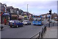
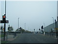
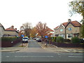
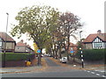
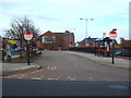
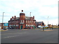
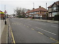
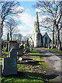
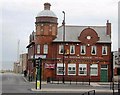
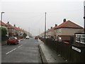


20 photos from this area
Area Information
Key information about the SR2 9TE including its size, population, and administrative classification.
- Area Type
- Postcode
- Area Size
- 8.8 hectares
- Population
- 1334
- Population Density
- 2614 people/km²
House Prices in SR2 9TE
6
Properties
-
Average Sold Price
-
Lowest Price
-
Highest Price
Showing 6 properties
| Address | Type | Beds | Baths | Last Sale Price | Last Sale Date | |
|---|---|---|---|---|---|---|
| Asda, Asda Filling Station, Leechmere Road, Grangetown, Sunderland, SR2 9TE | Retail | - | - | - | - | |
| Mgw Haulage Ltd, The Cottage, Wellmere Road, Leechmere Industrial Estate, Sunderland, SR2 9TE | Bungalow | - | - | - | - | |
| Belle Tents Ltd, 1 Wellmere Road, Leechmere Industrial Estate, Sunderland, SR2 9TE | storage_distribution | - | - | - | - | |
| Delton Pet Supplies, Wellmere Road, Leechmere Industrial Estate, Sunderland, SR2 9TE | retail_financial | - | - | - | - | |
| H R Fabrication Ltd, Unit 2A, Wellmere Road, Leechmere Industrial Estate, Sunderland, SR2 9TE | Industrial | - | - | - | - | |
| Wards Estates Ltd, Wellmere Road, Leechmere Industrial Estate, Sunderland, SR2 9TE | warehouse | - | - | - | - |
Energy Efficiency in SR2 9TE
Amenities
Schools
| Rank | School | Type | Entry gender | Ages |
|---|
Explore more schools in this area
Go to Schools tabDemographics
Household Size
One person
most common
Accommodation Type
Houses
most common
Tenure
60
majority
Ethnic Group
White
most common
Religion
N/A
most common
Household Composition
N/A
most common
Age
47
median
Adults (30-64 years)
most common
Household Deprivation
N/A
with no deprivation
NS-SEC
25
in Lower managerial occupations
Explore more demographic insights in this area
Go to Demographics tabPlanning
Planning Constraints
- Flood RiskPremium
- Ramsar Wetland SitesPremium
- Area of Outstanding Natural BeautyPremium
- Protected Nature ReservePremium
- Protected WoodlandPremium