Area Overview for SR2 9RS
Photos of SR2 9RS
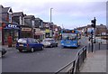
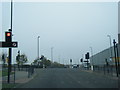
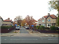
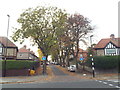
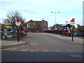
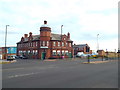
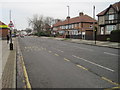
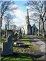
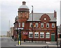
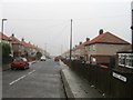


20 photos from this area
Area Information
Key information about the SR2 9RS including its size, population, and administrative classification.
- Area Type
- Postcode
- Area Size
- 4.7 hectares
- Population
- 1334
- Population Density
- 28286 people/km²
House Prices in SR2 9RS
19
Properties
£80,695
Average Sold Price
£33,950
Lowest Price
£255,000
Highest Price
Showing 19 properties
| Address | Type | Beds | Baths | Last Sale Price | Last Sale Date | |
|---|---|---|---|---|---|---|
| 289 Ryhope Road, Sunderland, SR2 9RS | Cottage | 2 | 1 | £86,600 | Jun 2025 | |
| Grangeville, 305 Ryhope Road, Sunderland, SR2 9RS | Detached | 4 | 2 | £255,000 | Oct 2024 | |
| 287 Ryhope Road, Sunderland, SR2 9RS | Terraced | 3 | 1 | £50,000 | Jun 2024 | |
| 285 Ryhope Road, Sunderland, SR2 9RS | Bungalow | - | - | £50,100 | Dec 2023 | |
| 297 Ryhope Road, Sunderland, SR2 9RS | Terraced | 2 | - | £115,000 | Sep 2023 | |
| 291 Ryhope Road, Sunderland, SR2 9RS | Terraced | 1 | 1 | £45,000 | Dec 2019 | |
| 295 Ryhope Road, Sunderland, SR2 9RS | Cottage | 1 | 1 | £49,000 | Jan 2016 | |
| 301 Ryhope Road, Sunderland, SR2 9RS | house | 2 | - | £41,000 | Apr 2015 | |
| 299 Ryhope Road, Sunderland, SR2 9RS | Bungalow | - | - | £77,000 | Oct 2007 | |
| 277 Ryhope Road, Sunderland, SR2 9RS | Terraced | - | - | £85,000 | Sep 2005 |
Page 1 of 2
Energy Efficiency in SR2 9RS
Amenities
Schools
| Rank | School | Type | Entry gender | Ages |
|---|
Explore more schools in this area
Go to Schools tabDemographics
Household Size
One person
most common
Accommodation Type
Houses
most common
Tenure
60
majority
Ethnic Group
White
most common
Religion
N/A
most common
Household Composition
N/A
most common
Age
47
median
Adults (30-64 years)
most common
Household Deprivation
N/A
with no deprivation
NS-SEC
25
in Lower managerial occupations
Explore more demographic insights in this area
Go to Demographics tabPlanning
Planning Constraints
- Flood RiskPremium
- Ramsar Wetland SitesPremium
- Area of Outstanding Natural BeautyPremium
- Protected Nature ReservePremium
- Protected WoodlandPremium