Area Overview for SR2 9NB
Photos of SR2 9NB
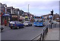
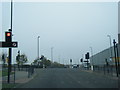
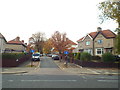
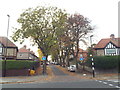
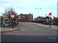
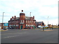
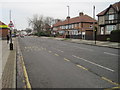
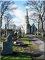
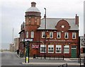
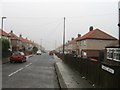


20 photos from this area
Area Information
Key information about the SR2 9NB including its size, population, and administrative classification.
- Area Type
- Postcode
- Area Size
- 4428 m²
- Population
- 1334
- Population Density
- 2614 people/km²
House Prices in SR2 9NB
19
Properties
£106,904
Average Sold Price
£34,000
Lowest Price
£280,000
Highest Price
Showing 19 properties
| Address | Type | Beds | Baths | Last Sale Price | Last Sale Date | |
|---|---|---|---|---|---|---|
| 34 Leechmere Road, Grangetown, Sunderland, SR2 9NB | Flat | 1 | 1 | £65,000 | Sep 2025 | |
| 22 Leechmere Road, Grangetown, Sunderland, SR2 9NB | Terraced | 3 | 1 | £122,000 | Sep 2025 | |
| 20 Leechmere Road, Grangetown, Sunderland, SR2 9NB | Terraced | 3 | 1 | £163,000 | Sep 2025 | |
| 14 Leechmere Road, Grangetown, Sunderland, SR2 9NB | Terraced | - | - | £93,000 | Oct 2022 | |
| 2 Leechmere Road, Grangetown, Sunderland, SR2 9NB | Terraced | 3 | 1 | £122,900 | Aug 2018 | |
| 10 Leechmere Road, Grangetown, Sunderland, SR2 9NB | house | - | - | £67,000 | May 2017 | |
| 30 Leechmere Road, Grangetown, Sunderland, SR2 9NB | Terraced | 3 | 1 | £108,000 | Jul 2015 | |
| 18 Leechmere Road, Grangetown, Sunderland, SR2 9NB | house | 3 | - | £105,000 | Dec 2011 | |
| Melden House, 16A Leechmere Road, Grangetown, Sunderland, SR2 9NB | Retirement | - | - | £280,000 | Oct 2006 | |
| 16 Leechmere Road, Grangetown, Sunderland, SR2 9NB | Terraced | - | - | £79,950 | Feb 2003 |
Page 1 of 2
Energy Efficiency in SR2 9NB
Amenities
Schools
| Rank | School | Type | Entry gender | Ages |
|---|
Explore more schools in this area
Go to Schools tabDemographics
Household Size
One person
most common
Accommodation Type
Houses
most common
Tenure
60
majority
Ethnic Group
White
most common
Religion
N/A
most common
Household Composition
N/A
most common
Age
47
median
Adults (30-64 years)
most common
Household Deprivation
N/A
with no deprivation
NS-SEC
25
in Lower managerial occupations
Explore more demographic insights in this area
Go to Demographics tabPlanning
Planning Constraints
- Flood RiskPremium
- Ramsar Wetland SitesPremium
- Area of Outstanding Natural BeautyPremium
- Protected Nature ReservePremium
- Protected WoodlandPremium