Area Overview for SR2 8SW
Photos of SR2 8SW
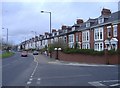
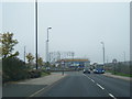
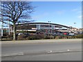
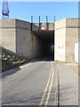
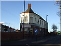
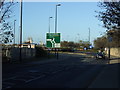
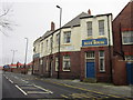
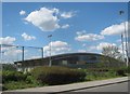
19 photos from this area
Area Information
Key information about the SR2 8SW including its size, population, and administrative classification.
- Area Type
- Postcode
- Area Size
- 6968 m²
- Population
- 1050
- Population Density
- 4713 people/km²
House Prices in SR2 8SW
44
Properties
£51,941
Average Sold Price
£13,700
Lowest Price
£89,995
Highest Price
Showing 44 properties
| Address | Type | Beds | Baths | Last Sale Price | Last Sale Date | |
|---|---|---|---|---|---|---|
| 89 Hastings Street, Sunderland, SR2 8SW | Terraced | 2 | 1 | £73,000 | Mar 2025 | |
| 79 Hastings Street, Sunderland, SR2 8SW | Terraced | 4 | 1 | £89,995 | Mar 2024 | |
| 61 Hastings Street, Sunderland, SR2 8SW | Terraced | 3 | 1 | £77,000 | Nov 2023 | |
| 86 Hastings Street, Sunderland, SR2 8SW | Bungalow | - | - | £65,000 | Feb 2023 | |
| 95 Hastings Street, Sunderland, SR2 8SW | Bungalow | - | - | £50,000 | Nov 2021 | |
| 72 Hastings Street, Sunderland, SR2 8SW | Terraced | 3 | - | £55,000 | Aug 2021 | |
| 73 Hastings Street, Sunderland, SR2 8SW | Bungalow | - | - | £39,999 | Jan 2020 | |
| 88 Hastings Street, Sunderland, SR2 8SW | Terraced | 3 | 2 | £50,000 | Mar 2019 | |
| 101 Hastings Street, Sunderland, SR2 8SW | house | - | - | £54,950 | Nov 2017 | |
| 78 Hastings Street, Sunderland, SR2 8SW | Terraced | 3 | 1 | £37,500 | Jul 2017 |
Page 1 of 5
Energy Efficiency in SR2 8SW
Amenities
Schools
| Rank | School | Type | Entry gender | Ages |
|---|
Explore more schools in this area
Go to Schools tabDemographics
Household Size
One person
most common
Accommodation Type
Houses
most common
Tenure
55
majority
Ethnic Group
White
most common
Religion
N/A
most common
Household Composition
N/A
most common
Age
47
median
Adults (30-64 years)
most common
Household Deprivation
N/A
with no deprivation
NS-SEC
16
in Lower managerial occupations
Explore more demographic insights in this area
Go to Demographics tabPlanning
Planning Constraints
- Flood RiskPremium
- Ramsar Wetland SitesPremium
- Area of Outstanding Natural BeautyPremium
- Protected Nature ReservePremium
- Protected WoodlandPremium