Area Overview for SR2 8PJ
Photos of SR2 8PJ
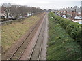
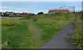
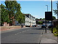
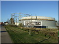
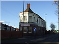
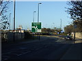
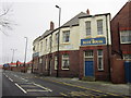
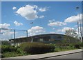
19 photos from this area
Area Information
Key information about the SR2 8PJ including its size, population, and administrative classification.
- Area Type
- Postcode
- Area Size
- 1287 m²
- Population
- 1050
- Population Density
- 4713 people/km²
House Prices in SR2 8PJ
10
Properties
£42,672
Average Sold Price
£27,300
Lowest Price
£67,000
Highest Price
Showing 10 properties
| Address | Type | Beds | Baths | Last Sale Price | Last Sale Date | |
|---|---|---|---|---|---|---|
| 10 Hyde Street, Sunderland, SR2 8PJ | Terraced | 3 | 1 | £67,000 | Aug 2025 | |
| 6 Hyde Street, Sunderland, SR2 8PJ | Cottage | 2 | 1 | £35,000 | Apr 2021 | |
| 3 Hyde Street, Sunderland, SR2 8PJ | Flat | - | - | £30,000 | Mar 2021 | |
| 12 Hyde Street, Sunderland, SR2 8PJ | Terraced | 2 | 1 | £35,000 | Jan 2011 | |
| 8 Hyde Street, Sunderland, SR2 8PJ | Terraced | 2 | 1 | £50,000 | Dec 2006 | |
| 14 Hyde Street, Sunderland, SR2 8PJ | Bungalow | - | - | £38,000 | Oct 2006 | |
| 4 Hyde Street, Sunderland, SR2 8PJ | Cottage | 2 | 1 | £61,750 | Mar 2006 | |
| 16 Hyde Street, Sunderland, SR2 8PJ | Cottage | 2 | 1 | £40,000 | Aug 2004 | |
| 18 Hyde Street, Sunderland, SR2 8PJ | Cottage | 2 | 1 | £27,300 | Jul 2003 | |
| 2 Hyde Street, Sunderland, SR2 8PJ | Bungalow | - | - | - | - |
Energy Efficiency in SR2 8PJ
Amenities
Schools
| Rank | School | Type | Entry gender | Ages |
|---|
Explore more schools in this area
Go to Schools tabDemographics
Household Size
One person
most common
Accommodation Type
Houses
most common
Tenure
55
majority
Ethnic Group
White
most common
Religion
N/A
most common
Household Composition
N/A
most common
Age
47
median
Adults (30-64 years)
most common
Household Deprivation
N/A
with no deprivation
NS-SEC
16
in Lower managerial occupations
Explore more demographic insights in this area
Go to Demographics tabPlanning
Planning Constraints
- Flood RiskPremium
- Ramsar Wetland SitesPremium
- Area of Outstanding Natural BeautyPremium
- Protected Nature ReservePremium
- Protected WoodlandPremium