Area Overview for SR2 8LE
Photos of SR2 8LE
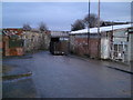
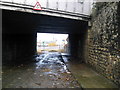
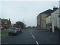
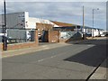
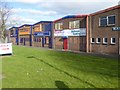
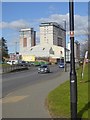
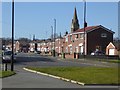
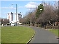
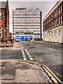
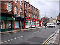
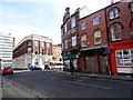
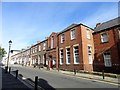
40 photos from this area
Area Information
Key information about the SR2 8LE including its size, population, and administrative classification.
- Area Type
- Postcode
- Area Size
- 2861 m²
- Population
- 1016
- Population Density
- 355091 people/km²
House Prices in SR2 8LE
17
Properties
£51,282
Average Sold Price
£10,500
Lowest Price
£88,000
Highest Price
Showing 17 properties
| Address | Type | Beds | Baths | Last Sale Price | Last Sale Date | |
|---|---|---|---|---|---|---|
| 14 Bambro Street, Sunderland, SR2 8LE | Terraced | 3 | 1 | £88,000 | Dec 2023 | |
| 9 Bambro Street, Sunderland, SR2 8LE | Bungalow | 2 | 1 | £39,950 | Nov 2023 | |
| 6 Bambro Street, Sunderland, SR2 8LE | Retail | 3 | - | £41,750 | Aug 2022 | |
| 13 Bambro Street, Sunderland, SR2 8LE | Bungalow | - | - | £64,950 | Oct 2018 | |
| 11 Bambro Street, Sunderland, SR2 8LE | Terraced | 3 | 1 | £69,999 | Jun 2018 | |
| 8 Bambro Street, Sunderland, SR2 8LE | Bungalow | - | - | £74,950 | Oct 2010 | |
| 10 Bambro Street, Sunderland, SR2 8LE | Terraced | 4 | 1 | £75,000 | Jan 2009 | |
| 12 Bambro Street, Sunderland, SR2 8LE | Bungalow | - | - | £65,000 | Jul 2006 | |
| 2 Bambro Street, Sunderland, SR2 8LE | Bungalow | 2 | 1 | £20,000 | Apr 2002 | |
| 7 Bambro Street, Sunderland, SR2 8LE | Terraced | - | - | £10,500 | Apr 2000 |
Page 1 of 2
Energy Efficiency in SR2 8LE
Amenities
Schools
| Rank | School | Type | Entry gender | Ages |
|---|
Explore more schools in this area
Go to Schools tabDemographics
Household Size
One person
most common
Accommodation Type
Houses
most common
Tenure
31
majority
Ethnic Group
White
most common
Religion
N/A
most common
Household Composition
N/A
most common
Age
47
median
Adults (30-64 years)
most common
Household Deprivation
N/A
with no deprivation
NS-SEC
14
in Lower managerial occupations
Explore more demographic insights in this area
Go to Demographics tabPlanning
Planning Constraints
- Flood RiskPremium
- Ramsar Wetland SitesPremium
- Area of Outstanding Natural BeautyPremium
- Protected Nature ReservePremium
- Protected WoodlandPremium