Area Overview for SR2 8BT
Photos of SR2 8BT
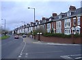
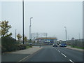
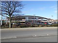
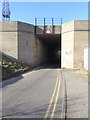
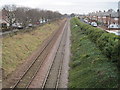
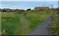
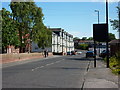
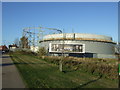
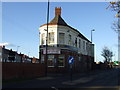
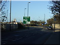
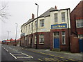
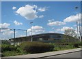
19 photos from this area
Area Information
Key information about the SR2 8BT including its size, population, and administrative classification.
- Area Type
- Postcode
- Area Size
- 6720 m²
- Population
- 1228
- Population Density
- 7144 people/km²
House Prices in SR2 8BT
29
Properties
£80,625
Average Sold Price
£32,000
Lowest Price
£119,995
Highest Price
Showing 29 properties
| Address | Type | Beds | Baths | Last Sale Price | Last Sale Date | |
|---|---|---|---|---|---|---|
| 17 Athol Park, Sunderland, SR2 8BT | Terraced | 2 | 1 | £98,500 | Aug 2025 | |
| 18 Athol Park, Sunderland, SR2 8BT | Terraced | 3 | 1 | £85,000 | Jul 2024 | |
| 24 Athol Park, Sunderland, SR2 8BT | Terraced | 3 | 1 | £119,995 | May 2024 | |
| 22 Athol Park, Sunderland, SR2 8BT | Semi-detached | 3 | 2 | £110,000 | Nov 2023 | |
| 6 Athol Park, Sunderland, SR2 8BT | house | - | - | £95,000 | Feb 2022 | |
| 7 Athol Park, Sunderland, SR2 8BT | Terraced | 3 | 1 | £80,000 | Apr 2021 | |
| 23 Athol Park, Sunderland, SR2 8BT | house | - | - | £88,000 | Apr 2021 | |
| 13 Athol Park, Sunderland, SR2 8BT | house | 3 | - | £80,000 | Jun 2013 | |
| 16 Athol Park, Sunderland, SR2 8BT | house | - | - | £95,000 | Jun 2012 | |
| 10 Athol Park, Sunderland, SR2 8BT | Terraced | - | - | £110,000 | Apr 2007 |
Page 1 of 3
Energy Efficiency in SR2 8BT
Amenities
Schools
| Rank | School | Type | Entry gender | Ages |
|---|
Explore more schools in this area
Go to Schools tabDemographics
Household Size
One person
most common
Accommodation Type
Houses
most common
Tenure
49
majority
Ethnic Group
White
most common
Religion
N/A
most common
Household Composition
N/A
most common
Age
47
median
Adults (30-64 years)
most common
Household Deprivation
N/A
with no deprivation
NS-SEC
19
in Lower managerial occupations
Explore more demographic insights in this area
Go to Demographics tabPlanning
Planning Constraints
- Flood RiskPremium
- Ramsar Wetland SitesPremium
- Area of Outstanding Natural BeautyPremium
- Protected Nature ReservePremium
- Protected WoodlandPremium