Area Overview for SR2 7UG
Photos of SR2 7UG
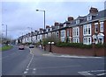
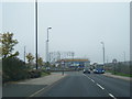
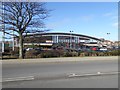
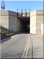
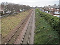
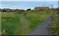
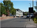
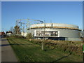
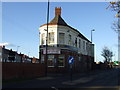
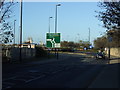
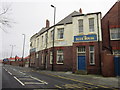
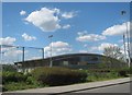
19 photos from this area
Area Information
Key information about the SR2 7UG including its size, population, and administrative classification.
- Area Type
- Postcode
- Area Size
- 8508 m²
- Population
- 1494
- Population Density
- 5829 people/km²
House Prices in SR2 7UG
11
Properties
£189,242
Average Sold Price
£78,000
Lowest Price
£275,000
Highest Price
Showing 11 properties
| Address | Type | Beds | Baths | Last Sale Price | Last Sale Date | |
|---|---|---|---|---|---|---|
| 133 Ryhope Road, Sunderland, SR2 7UG | Semi-detached | 3 | 1 | £275,000 | Nov 2020 | |
| 131 Ryhope Road, Sunderland, SR2 7UG | Semi-detached | 3 | 1 | £210,000 | Dec 2019 | |
| 137 Ryhope Road, Sunderland, SR2 7UG | Semi-detached | - | - | £200,000 | Mar 2007 | |
| 129 Ryhope Road, Sunderland, SR2 7UG | Terraced | - | - | £172,500 | Sep 2005 | |
| 139 Ryhope Road, Sunderland, SR2 7UG | Semi-detached | - | - | £199,950 | Sep 2004 | |
| 141 Ryhope Road, Sunderland, SR2 7UG | Semi-detached | - | - | £78,000 | Jul 1998 | |
| 143 Ryhope Road, Sunderland, SR2 7UG | house | - | - | - | - | |
| 135 Ryhope Road, Sunderland, SR2 7UG | Semi-detached | - | - | - | - | |
| 125 Ryhope Road, Sunderland, SR2 7UG | Semi-detached | - | - | - | - | |
| 127 Ryhope Road, Sunderland, SR2 7UG | Semi-detached | - | - | - | - |
Page 1 of 2
Energy Efficiency in SR2 7UG
Amenities
Schools
| Rank | School | Type | Entry gender | Ages |
|---|
Explore more schools in this area
Go to Schools tabDemographics
Household Size
Family (3-5 people)
most common
Accommodation Type
Houses
most common
Tenure
55
majority
Ethnic Group
White
most common
Religion
N/A
most common
Household Composition
N/A
most common
Age
47
median
Adults (30-64 years)
most common
Household Deprivation
N/A
with no deprivation
NS-SEC
21
in Lower managerial occupations
Explore more demographic insights in this area
Go to Demographics tabPlanning
Planning Constraints
- Flood RiskPremium
- Ramsar Wetland SitesPremium
- Area of Outstanding Natural BeautyPremium
- Protected Nature ReservePremium
- Protected WoodlandPremium