Area Overview for SR2 7SZ
Photos of SR2 7SZ
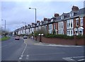
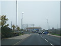
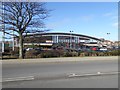
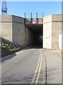
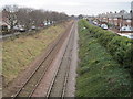
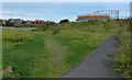
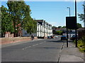
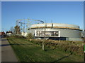
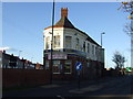
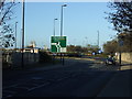
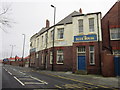
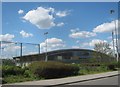
19 photos from this area
Area Information
Key information about the SR2 7SZ including its size, population, and administrative classification.
- Area Type
- Postcode
- Area Size
- 1.4 hectares
- Population
- 1433
- Population Density
- 2381 people/km²
House Prices in SR2 7SZ
15
Properties
£178,461
Average Sold Price
£73,000
Lowest Price
£240,000
Highest Price
Showing 15 properties
| Address | Type | Beds | Baths | Last Sale Price | Last Sale Date | |
|---|---|---|---|---|---|---|
| Mill House, Ryhope Road, Sunderland, SR2 7SZ | Detached | 3 | 2 | £190,000 | Sep 2023 | |
| 91 Ryhope Road, Sunderland, SR2 7SZ | Semi-detached | 3 | 1 | £230,000 | Apr 2021 | |
| 85 Ryhope Road, Sunderland, SR2 7SZ | Detached | 5 | 2 | £240,000 | Jun 2019 | |
| 95 Ryhope Road, Sunderland, SR2 7SZ | Semi-detached | - | - | £210,000 | Jun 2006 | |
| 87 Ryhope Road, Sunderland, SR2 7SZ | house | - | - | £181,225 | Jul 2003 | |
| 89 Ryhope Road, Sunderland, SR2 7SZ | Semi-detached | 5 | 2 | £125,000 | Jan 2002 | |
| 101 Ryhope Road, Sunderland, SR2 7SZ | Terraced | - | - | £73,000 | Aug 2000 | |
| Subway, Petrol Filling Station, Ryhope Road, Sunderland, SR2 7SZ | Restaurant | - | - | - | - | |
| 97 Ryhope Road, Sunderland, SR2 7SZ | Semi-detached | - | - | - | - | |
| 107 Ryhope Road, Sunderland, SR2 7SZ | Semi-detached | - | - | - | - |
Page 1 of 2
Energy Efficiency in SR2 7SZ
Amenities
Schools
| Rank | School | Type | Entry gender | Ages |
|---|
Explore more schools in this area
Go to Schools tabDemographics
Household Size
Two person
most common
Accommodation Type
Houses
most common
Tenure
85
majority
Ethnic Group
White
most common
Religion
N/A
most common
Household Composition
N/A
most common
Age
47
median
Adults (30-64 years)
most common
Household Deprivation
N/A
with no deprivation
NS-SEC
40
in Lower managerial occupations
Explore more demographic insights in this area
Go to Demographics tabPlanning
Planning Constraints
- Flood RiskPremium
- Ramsar Wetland SitesPremium
- Area of Outstanding Natural BeautyPremium
- Protected Nature ReservePremium
- Protected WoodlandPremium