Area Overview for SR2 0TD
Photos of SR2 0TD


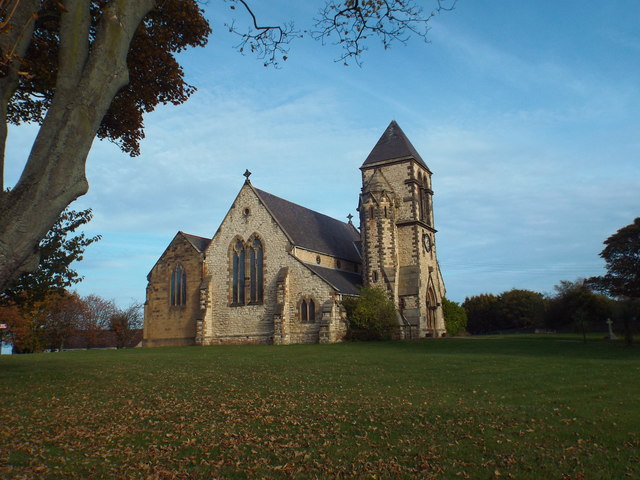
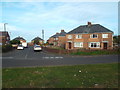
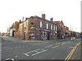
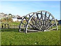
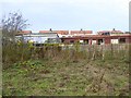
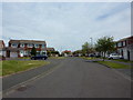
16 photos from this area
Area Information
Key information about the SR2 0TD including its size, population, and administrative classification.
- Area Type
- Postcode
- Area Size
- 5462 m²
- Population
- 1435
- Population Density
- 262741 people/km²
House Prices in SR2 0TD
15
Properties
£117,878
Average Sold Price
£44,000
Lowest Price
£160,000
Highest Price
Showing 15 properties
| Address | Type | Beds | Baths | Last Sale Price | Last Sale Date | |
|---|---|---|---|---|---|---|
| 4 Westray Close, Sunderland, SR2 0TD | Semi-detached | 2 | 1 | £139,950 | Feb 2023 | |
| 3 Westray Close, Sunderland, SR2 0TD | house | - | - | £131,000 | Apr 2022 | |
| 15 Westray Close, Sunderland, SR2 0TD | Semi-detached | 3 | - | £160,000 | Sep 2020 | |
| 2 Westray Close, Sunderland, SR2 0TD | house | - | - | £139,950 | Dec 2018 | |
| 7 Westray Close, Sunderland, SR2 0TD | house | - | - | £153,000 | Feb 2017 | |
| 10 Westray Close, Sunderland, SR2 0TD | house | - | - | £116,000 | Apr 2013 | |
| 16 Westray Close, Sunderland, SR2 0TD | Semi-detached | - | - | £115,000 | Aug 2007 | |
| 12 Westray Close, Sunderland, SR2 0TD | house | - | - | £44,000 | Jun 1999 | |
| 5 Westray Close, Sunderland, SR2 0TD | house | - | - | £62,000 | Apr 1997 | |
| 1 Westray Close, Sunderland, SR2 0TD | Semi-detached | - | - | - | - |
Page 1 of 2
Energy Efficiency in SR2 0TD
Amenities
Schools
| Rank | School | Type | Entry gender | Ages |
|---|
Explore more schools in this area
Go to Schools tabDemographics
Household Size
N/A
most common
Accommodation Type
N/A
most common
Tenure
N/A
majority
Ethnic Group
N/A
most common
Religion
N/A
most common
Household Composition
N/A
most common
Age
N/A
median
N/A
most common
Household Deprivation
N/A
with no deprivation
NS-SEC
N/A
in Lower managerial occupations
Explore more demographic insights in this area
Go to Demographics tabPlanning
Planning Constraints
- Flood RiskPremium
- Ramsar Wetland SitesPremium
- Area of Outstanding Natural BeautyPremium
- Protected Nature ReservePremium
- Protected WoodlandPremium