Area Overview for SR2 0NT
Photos of SR2 0NT
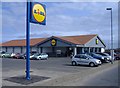
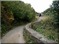
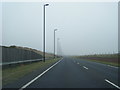
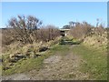
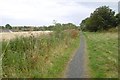
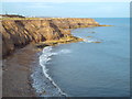
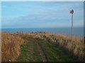
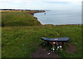
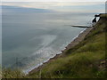
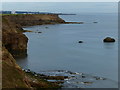
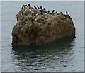
43 photos from this area
Area Information
Key information about the SR2 0NT including its size, population, and administrative classification.
- Area Type
- Postcode
- Area Size
- 5.2 hectares
- Population
- 1461
- Population Density
- 2410 people/km²
House Prices in SR2 0NT
33
Properties
£82,579
Average Sold Price
£38,500
Lowest Price
£142,500
Highest Price
Showing 33 properties
| Address | Type | Beds | Baths | Last Sale Price | Last Sale Date | |
|---|---|---|---|---|---|---|
| 6 Athelstan Rigg, Sunderland, SR2 0NT | Terraced | 3 | 1 | £142,500 | Jun 2025 | |
| 4 Athelstan Rigg, Sunderland, SR2 0NT | Flat | - | - | £62,000 | May 2024 | |
| 15 Athelstan Rigg, Sunderland, SR2 0NT | Flat | 1 | 1 | £59,950 | Mar 2024 | |
| 31 Athelstan Rigg, Sunderland, SR2 0NT | Terraced | 3 | 1 | £117,000 | Oct 2023 | |
| 5 Athelstan Rigg, Sunderland, SR2 0NT | Flat | 2 | 1 | £66,000 | Feb 2022 | |
| 10 Athelstan Rigg, Sunderland, SR2 0NT | Flat | - | - | £59,000 | Aug 2019 | |
| 34 Athelstan Rigg, Sunderland, SR2 0NT | Flat | - | - | £38,500 | Jul 2012 | |
| 16 Athelstan Rigg, Sunderland, SR2 0NT | Flat | - | - | £70,000 | Sep 2007 | |
| 19 Athelstan Rigg, Sunderland, SR2 0NT | Terraced | - | - | £139,999 | Sep 2006 | |
| 9 Athelstan Rigg, Sunderland, SR2 0NT | Flat | - | - | £78,000 | Aug 2005 |
Page 1 of 4
Energy Efficiency in SR2 0NT
Amenities
Schools
| Rank | School | Type | Entry gender | Ages |
|---|
Explore more schools in this area
Go to Schools tabDemographics
Household Size
Two person
most common
Accommodation Type
Houses
most common
Tenure
61
majority
Ethnic Group
White
most common
Religion
N/A
most common
Household Composition
N/A
most common
Age
47
median
Adults (30-64 years)
most common
Household Deprivation
N/A
with no deprivation
NS-SEC
24
in Lower managerial occupations
Explore more demographic insights in this area
Go to Demographics tabPlanning
Planning Constraints
- Flood RiskPremium
- Ramsar Wetland SitesPremium
- Area of Outstanding Natural BeautyPremium
- Protected Nature ReservePremium
- Protected WoodlandPremium