Area Overview for SR2 0AL
Photos of SR2 0AL
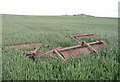
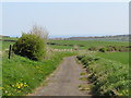
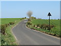
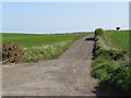
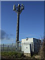
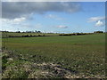
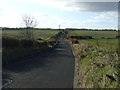
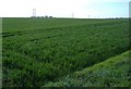
8 photos from this area
Area Information
Key information about the SR2 0AL including its size, population, and administrative classification.
- Area Type
- Postcode
- Area Size
- 2.4 hectares
- Population
- 1532
- Population Density
- 272 people/km²
House Prices in SR2 0AL
33
Properties
£103,433
Average Sold Price
£73,000
Lowest Price
£139,950
Highest Price
Showing 33 properties
| Address | Type | Beds | Baths | Last Sale Price | Last Sale Date | |
|---|---|---|---|---|---|---|
| 9 Rodney Close, Sunderland, SR2 0AL | Terraced | 3 | 1 | £139,950 | Dec 2025 | |
| 29 Rodney Close, Sunderland, SR2 0AL | Terraced | 3 | 1 | £114,500 | Dec 2024 | |
| 27 Rodney Close, Sunderland, SR2 0AL | Terraced | 3 | 1 | £119,950 | Jan 2024 | |
| 22 Rodney Close, Sunderland, SR2 0AL | house | 3 | 1 | £73,000 | Aug 2023 | |
| 21 Rodney Close, Sunderland, SR2 0AL | Terraced | 3 | 1 | £122,000 | Apr 2023 | |
| 10 Rodney Close, Sunderland, SR2 0AL | Terraced | 3 | 1 | £129,995 | Jul 2022 | |
| 30 Rodney Close, Sunderland, SR2 0AL | Terraced | 3 | - | £104,500 | Sep 2021 | |
| 18 Rodney Close, Sunderland, SR2 0AL | house | - | - | £105,000 | Sep 2020 | |
| 23 Rodney Close, Sunderland, SR2 0AL | Terraced | 3 | 1 | £75,500 | May 2019 | |
| 17 Rodney Close, Sunderland, SR2 0AL | Terraced | 3 | 1 | £90,000 | May 2017 |
Page 1 of 4
Energy Efficiency in SR2 0AL
Amenities
Schools
| Rank | School | Type | Entry gender | Ages |
|---|
Explore more schools in this area
Go to Schools tabDemographics
Household Size
Two person
most common
Accommodation Type
Houses
most common
Tenure
84
majority
Ethnic Group
White
most common
Religion
N/A
most common
Household Composition
N/A
most common
Age
47
median
Adults (30-64 years)
most common
Household Deprivation
N/A
with no deprivation
NS-SEC
34
in Lower managerial occupations
Explore more demographic insights in this area
Go to Demographics tabPlanning
Planning Constraints
- Flood RiskPremium
- Ramsar Wetland SitesPremium
- Area of Outstanding Natural BeautyPremium
- Protected Nature ReservePremium
- Protected WoodlandPremium