Area Overview for Southern Villages Ward
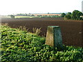
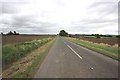
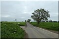
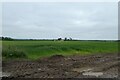
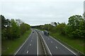
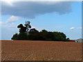
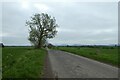
Photos of Southern Villages Ward

Area Information
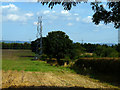
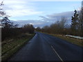
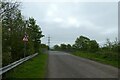
Living in Southern Villages Ward offers a defined sense of place within the Isle of Wight. This district borough unitary ward covers 24.0 km², providing a contained community where residents experience a localised environment. The area is established as a significant residential zone with a population structure heavily weighted towards older generations. A median age of 70 years characterises the demographic landscape, suggesting a community shaped by long-term settled families rather than transient commuters or young professional clusters. This demographic reality defines the daily rhythm of Southern Villages Ward, where life often centres on local amenities and proximity rather than connectivity to distant city centres. The ward presents a distinct profile for those evaluating homes in Southern Villages Ward. It avoids the chaos of high-density urban sprawl while maintaining the practicalities of serviced housing. The environment is large enough to feel spacious yet small enough to foster familiarity among neighbours. When you consider the location, you are entering an area where the demographic skew towards older residents influences local services, cultural activities, and the general pace of life. This is not a district marketed to the young or the transient; it is a place designed for stability and comfort. Understanding this baseline helps you assess whether Southern Villages Ward aligns with your lifestyle requirements.
- Area Type
- District Borough Unitary Ward
- Area Size
- 24.0 km²
- Population
- Not available
- Population Density
- Not available
Demographics
The community in Southern Villages Ward is defined by a clear generational profile. You will find that the most common age range aligns with a median age of 70 years. This statistical peak indicates that the majority of residents are seniors, creating a neighbourhood atmosphere suited to retirement or later-life living. When evaluating who lives in Southern Villages Ward, officials and local observers note that this age dominance affects everything from school catchment pressures to local shop offerings. The population is not made up of families with young children looking for playgrounds nearby, but rather individuals prioritising quiet and established surroundings. Home ownership in Southern Villages Ward stands at 88%, a figure that speaks volumes about the local estate's character. This high rate of ownership suggests that the homes in Southern Villages Ward are predominantly passed down through generations or purchased by long-term owners. You are unlikely to find a high volume of short-term tenancies or student accommodation here. Instead, the area reflects deep community roots where residents have invested in their properties over decades. The household composition data, while broad, reinforces this picture of stability. When you move to Southern Villages Ward, you join a group of owners who value permanence. This high ownership rate contrasts sharply with areas where rental markets dominate, offering you security of tenure and the potential for equity growth without the friction of landlord disputes.
Household Size
Accommodation Type
Tenure
Ethnic Group
Religion
Household Composition
Age
Household Deprivation
NS-SEC
Explore more demographic insights in this area
Go to Demographics tabPlanning
Planning Constraints
- Flood RiskPremium
- Ramsar Wetland SitesPremium
- Area of Outstanding Natural BeautyPremium
- Protected Nature ReservePremium
- Protected WoodlandPremium
- Crime RiskPremium