Area Overview for Seaton Ward
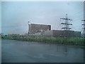
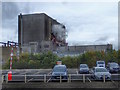
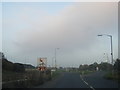
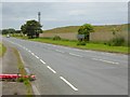
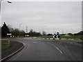
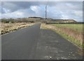
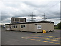
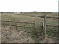
Photos of Seaton Ward
Area Information
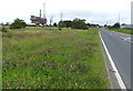
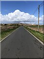
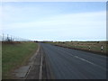
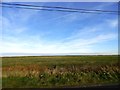
Living in Seaton Ward offers a specific type of quiet life within the East Riding of Yorkshire. You are buying into an electoral ward that spans 13.6 square kilometres, situated near the village of Seaton Ross. This location places you at a distinct remove from the busiest urban centres while remaining part of the wider North Yorkshire infrastructure network. The area represents a tightly defined community where daily rhythms are set by proximity to Seaton Ross and the surrounding rural landscape. You will find that the ward is relatively small in terms of total population, hosting just 1,385 residents. This low density creates an environment where local knowledge often replaces the need for extensive formal services. The character of Seaton Ward is defined by its modest scale and integration with the East Riding area of England. Whether you are looking for homes in Seaton Ward or simply exploring the geography, the boundary markers you encounter relate directly to how this district functions. The coordinates 54.644367630920826, -1.1884515860614986 pinpoint your exact location relative to neighbouring settlements. Life here revolves around a specific, smaller community rather than a sprawling metropolitan setting.
- Area Type
- District Borough Unitary Ward
- Area Size
- 13.6 km²
- Population
- 1385
- Population Density
- 102 people/km²
Demographics
The community in Seaton Ward presents a clear demographic picture for anyone considering this area. Residents here are predominantly older, with a median age of 70 years. This statistic indicates that the population leans heavily towards retirees or older adults rather than young families or children. You should expect the most common age range to reflect this entire demographic profile. Home ownership stands at an impressive 81 per cent within the ward. This figure shows that the local housing stock is mostly owned outright by the people living there. Very few residents rely on the private rental market within these boundaries. The ward acts as a traditional residential base where declining or retired households remain. While specific data on ethnic groups, religion, and household composition structures are not explicitly detailed in the available records, the high ownership rate suggests a long-term, stable population. Deprivation metrics related to these demographic groups are not reported in the current dataset. The overall environment feels settled, with 81 per cent of households owning their accommodation in Seaton Ward. This stability contrasts sharply with areas where rental turnover is frequent.
Household Size
Accommodation Type
Tenure
Ethnic Group
Religion
Household Composition
Age
Household Deprivation
NS-SEC
Explore more demographic insights in this area
Go to Demographics tabPlanning
Planning Constraints
- Flood RiskPremium
- Ramsar Wetland SitesPremium
- Area of Outstanding Natural BeautyPremium
- Protected Nature ReservePremium
- Protected WoodlandPremium