Area Overview for Ryhope Ward
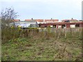
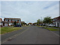
Photos of Ryhope Ward


Area Information
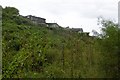
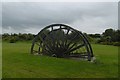
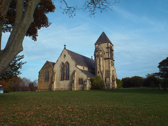
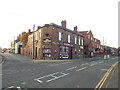
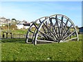
Ryhope Ward sits five-and-a-half kilometres along the southern edge of Sunderland, forming a distinct peninsula of just 5.7 square kilometres. The ward holds a population of 3,125 residents across this compact footprint. This creates a living density of 544 people per square kilometre, making it a moderately populated district within the broader City of Sunderland. Its historical roots run deep as a former coal mining township where industry shaped the landscape until the colliery closed in 1966. Today, the area balances its industrial past with significant natural features like Tunstall Hills, which offer views towards Whitby and Sunderland city centre. You are living in a community that retains the character of a village while enjoying close proximity to urban amenities. Ryhope lies approximately 2.9 miles from Sunderland city centre and 2.8 miles from Seaham. The geography places you near the Southern Radial Route and major coastal paths, providing access to the sea without being isolated from the city. Rediscovering Ryhope means finding a settled neighbourhood with a mix of residential needs and outdoor space. The ward operates as a ward of Sunderland, integrating fully into the local governance and services of the area. Whether you choose homes in Ryhope Ward or simply wish to visit, the location offers a tangible connection to North East England's industrial heritage alongside stable modern living.
- Area Type
- District Borough Unitary Ward
- Area Size
- 5.7 km²
- Population
- 3125
- Population Density
- 544 people/km²
Demographics
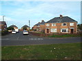
The community within Ryhope Ward reflects a notably older demographic profile. The median age for residents is 70 years, indicating that seniors form the core of the local population. While the data does not specify the breakdown of age ranges beyond this median, the overall picture points to a mature community. Home ownership stands at 62%, meaning nearly seven out of ten households own their dwelling outright or with a mortgage. This high rate of ownership suggests stability and long-term residency rather than a transient rental market. Household composition and accommodation type data confirm the total population structure supports this ownership trend. You will find a quieter atmosphere where neighbours often know each other over generations. The low median age correlates with the local amenities and facilities suited to retirement living. Diversity metrics show that the ward has a single predominant ethnic group and a unified religious profile, characteristic of many established coastal communities in North East England. For families considering schools near Ryhope Ward or working professionals seeking affordable living, the high ownership rate signals a stable environment. The demographics create a predictable neighbourly dynamic, where you live among a demographic that values locality and permanence. Living in Ryhope Ward means joining a community defined by its growth during the coal industry era, now stabilised by older residents.
Household Size
Accommodation Type
Tenure
Ethnic Group
Religion
Household Composition
Age
Household Deprivation
NS-SEC
Explore more demographic insights in this area
Go to Demographics tabPlanning
Planning Constraints
- Flood RiskPremium
- Ramsar Wetland SitesPremium
- Area of Outstanding Natural BeautyPremium
- Protected Nature ReservePremium
- Protected WoodlandPremium
- Crime RiskPremium