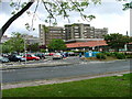
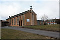
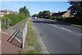
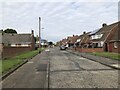
Area Overview for Roseworth Ward
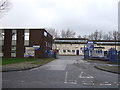
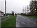
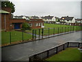
Photos of Roseworth Ward

Area Information
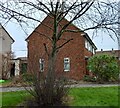
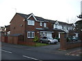
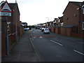
Roseworth Ward occupies just 2.2 km², establishing itself as a compact district within the borough. Living in Roseworth Ward offers a prescribed experience for those seeking a distinct community boundary. The area's small footprint means residents encounter a concentrated neighbourhood environment. This ward exists independently as a district borough unitary ward in England. Its limited physical size dictates a walkable lifestyle where daily amenities are likely situated close to homes. You will find that the sheer scale of Roseworth Ward prevents sprawling development. Instead, the area maintains tight residential density. Prospective buyers must recognise that this 2.2 km² space defines the entire character of the locality. There are no large parks or expansive commercial zones stretching beyond these borders. The compact nature forces a specific type of living where neighbours are invariably nearby. This small geographic definition creates a community where residents interact frequently due to physical proximity. The ward operates as a self-contained unit within the broader borough structure. Your daily routine in Roseworth Ward revolves around this specific, confined landscape.
- Area Type
- District Borough Unitary Ward
- Area Size
- 2.2 km²
- Population
- Not available
- Population Density
- Not available
Demographics
The community profile of Roseworth Ward reveals an older demographic structure. The median age stands at 70 years, indicating a significant portion of residents are senior citizens. Analysis of the population shows this age profile dominates the total age distribution. Most common age groups align with this high median figure, suggesting retirement communities or long-term residents form the core of the community. You should expect a quiet atmosphere typical of areas with an older population. Home ownership rates sit at 51%, meaning slightly more than half of all households own their property. This figure indicates a balanced market between ownership and renting within the ward. Regarding household composition, accommodation type and predominant ethnic group data are part of the total structural makeup of the area. While specific diversity metrics are not detailed in the total figures, the ward functions as a cohesive unit. The high median age directly impacts local service demand and social activities. Residents here likely value stability over rapid change. The 51% ownership rate suggests a mix of legacy owners and potential entry-level buyers. This demographic reality shapes the pace of life and the social fabric of Roseworth Ward.
Household Size
Accommodation Type
Tenure
Ethnic Group
Religion
Household Composition
Age
Household Deprivation
NS-SEC
Explore more demographic insights in this area
Go to Demographics tabPlanning
Planning Constraints
- Flood RiskPremium
- Ramsar Wetland SitesPremium
- Area of Outstanding Natural BeautyPremium
- Protected Nature ReservePremium
- Protected WoodlandPremium