Area Overview for Ropner Ward
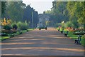
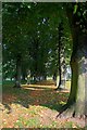
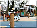
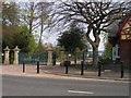
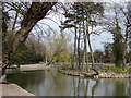
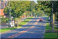
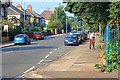
Photos of Ropner Ward
Area Information
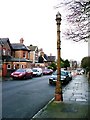
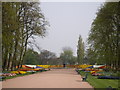
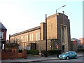
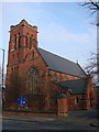
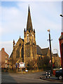
Ropner Ward lies within the Borough of Stockton-on-Tees in north-east England. This unitary authority ward covers an area of 1.6 square kilometres. It forms part of the Stockton North parliamentary constituency. The location sits to the north of the River Tees. Your daily life here unfolds in a compact residential district. The ward functions as a distinct neighbourhood within the larger borough structure. You will find that space is clearly defined by its boundaries. Living in Ropner Ward involves navigating a specific local context. The area operates under the governance of Stockton-on-Tees Borough Council. Your address will fall under the Stockton North constituency for national elections. This geographical setting provides a clear administrative framework for services and representation. The ward's small footprint means resources are concentrated locally. You do not need to travel far to access the core identity of the community. The physical environment is structured around official mapping data from the Boundary Commission for England. Your postcode falls within a specific ward identifier used for planning and census purposes. The area research confirms the precise latitude and longitude coordinates for this specific unitary ward. You reside in a zone that experts can pinpoint exactly on a map. The ward represents a functional piece of the wider Stockton landscape.
- Area Type
- District Borough Unitary Ward
- Area Size
- 1.6 km²
- Population
- Not available
- Population Density
- Not available
Demographics
The community in Ropner Ward reflects an older population profile. The median age here stands at exactly 70 years. This figure indicates that retirees and long-term residents form the core of the demographic. You are sharing your streets with neighbours who likely moved here decades ago. The population data confirms the total age group as the most common category. Home ownership levels remain substantial in this district. Fifty-nine per cent of residents own their homes outright or with a mortgage. This percentage suggests a stable community with deep local ties over time. The remaining forty-one per cent live in rented accommodation. Household composition data aggregates the total population for statistical analysis. You will encounter a mix of established residences and those not yet settled into ownership. The demographic breakdown does not specify predominant ethnic groups or religious affiliations in the provided figures. Instead, the data aggregates these categories under total counts. This aggregation allows for a broad understanding of the population without assigning a single majority identity. The absence of a specified ethnic majority simply means the data presents the aggregate total. Your daily interactions will reflect the natural diversity found within the total household count.
Household Size
Accommodation Type
Tenure
Ethnic Group
Religion
Household Composition
Age
Household Deprivation
NS-SEC
Explore more demographic insights in this area
Go to Demographics tabPlanning
Planning Constraints
- Flood RiskPremium
- Ramsar Wetland SitesPremium
- Area of Outstanding Natural BeautyPremium
- Protected Nature ReservePremium
- Protected WoodlandPremium