Area Overview for Pierremont Ward
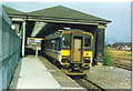
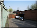
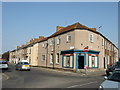
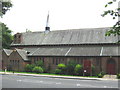
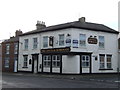
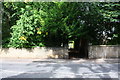
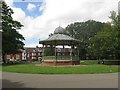
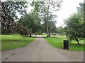
Photos of Pierremont Ward
Area Information
Living in Pierremont Ward offers a distinct experience defined by its size and specific demographics. This district borough unitary ward spans 85.7 hectares, providing a defined space for residents to explore daily. The area is characterised by a mature community where the median age stands at 70 years. You will find a settlement focused on stability and long-term residency rather than rapid turnover. The ward represents a specific segment of the local housing market with clear boundaries. Daily life here revolves around a population that has reached an advanced stage of adulthood. With such a high median age, the rhythm of life moves at a consistent, established pace. You should expect a neighbourhood where neighbours know each other because the demographic base remains relatively static. The physical footprint of 85.7 hectares accommodates this established population without excessive density. This profile suggests a quiet environment where amenities cater to an older demographic. The ward functions as a self-contained community within the wider borough structure. When you consider homes in Pierremont Ward, you are entering a market that reflects a specific generation living in a fixed geographical space. The layout supports this lifestyle with the necessary infrastructure for a permanent, settled way of life.
- Area Type
- District Borough Unitary Ward
- Area Size
- 85.7 hectares
- Population
- Not available
- Population Density
- Not available
Demographics
The community structure of Pierremont Ward is heavily influenced by an ageing population profile. You will find that the median age reaches 70 years, indicating a neighbourhood dominated by retirees and older residents. This demographic reality shapes every aspect of social interaction and local service usage. The area is not designed for families with young children or students looking for a social scene. Home ownership sits at 56 per cent. This figure reveals that just over half of the residents own their property outright or through a mortgage. The remaining 44 per cent belong to another sector, which skews the tenure mix compared to national averages that often highlight higher ownership rates. This split influences property transactions and the stability of the resident base. You will encounter a mix of owners and tenants, but the owner-occupied segment remains the larger group. Accommodation types and household compositions align with this older demographic profile. The data reflects a total household count that correlates with the age distribution. Diverse ethnic groups and religious affiliations are noted as part of the total population mix, though specific breakdowns focus on the aggregate figures provided. Living in Pierremont Ward means integrating into a community where age is the most defining characteristic.
Household Size
Accommodation Type
Tenure
Ethnic Group
Religion
Household Composition
Age
Household Deprivation
NS-SEC
Explore more demographic insights in this area
Go to Demographics tabPlanning
Planning Constraints
- Flood RiskPremium
- Ramsar Wetland SitesPremium
- Area of Outstanding Natural BeautyPremium
- Protected Nature ReservePremium
- Protected WoodlandPremium