Area Overview for Parklands Ward
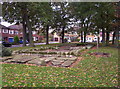
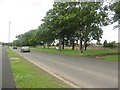
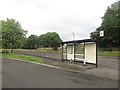
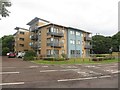
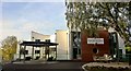
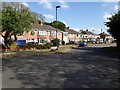
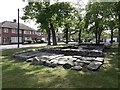
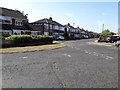
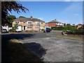
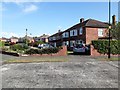
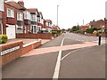
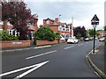
Photos of Parklands Ward
Area Information
Living in Parklands Ward offers a distinctly suburban experience within the City of Doncaster. This electoral ward sits approximately 8.5 square kilometres in size, housing a total population of 3,311 people. The location positions the area as a quiet residential zone situated north of the city centre, blending semi-rural characteristics with the practicalities of city living. You will find a community integrated into the wider Doncaster unitary authority structure, providing access to local governance while maintaining a lower density feel. The ward represents a stable part of South Yorkshire's geography, known for its established leafy streets rather than high-density development. Daily life here revolves around a self-contained neighbourhood model. With a low population density of 388 people per square kilometre, the environment feels spacious yet connected to the broader urban network. The area distinguishes itself from the bustling city centre through its focus on residential tranquility. Residents enjoy the benefits of being within the City of Doncaster without the immediate pressure of precinct-level crowding. Your daily commute likely starts from these specific boundaries, which serve as a buffer between the city edge and more rural outskirts. The ward defines a specific slice of Doncaster life where local identity is tied to the ward name itself.
- Area Type
- District Borough Unitary Ward
- Area Size
- 8.5 km²
- Population
- 3311
- Population Density
- 388 people/km²
Demographics
The community in Parklands Ward reflects a mature demographic profile. The median age for residents stands at 70 years, indicating a population skewed significantly towards older adults. This age distribution shapes the local culture and determines the specific needs of the neighbourhood. Households are dominated by owned properties, with 75% of residents holding title to their homes. This high ownership rate suggests stability and a long-term commitment to the locality among those living here. The remaining quarter of households likely comprise long-term renters or social housing occupants. You will encounter a community where multi-generational homes and retirement arrangements are common features. The age range data shows that Total is the most common category, confirming the dominance of the senior population across the ward. This demographic reality influences local shop choices, leisure facilities, and community activities. The 75% home ownership figure is a defining statistic for this area, distinguishing it from regions with higher rental percentages. When you consider buying, note that the existing stock predominantly supports owner-occupiers. The social fabric is built around this settled population, creating an environment where long-term residency is the norm rather than an exception for this specific demographic.
Household Size
Accommodation Type
Tenure
Ethnic Group
Religion
Household Composition
Age
Household Deprivation
NS-SEC
Explore more demographic insights in this area
Go to Demographics tabPlanning
Planning Constraints
- Flood RiskPremium
- Ramsar Wetland SitesPremium
- Area of Outstanding Natural BeautyPremium
- Protected Nature ReservePremium
- Protected WoodlandPremium