Area Overview for Park East Ward
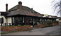
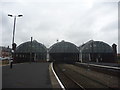
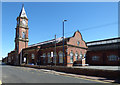
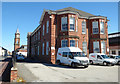
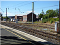
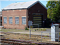
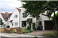
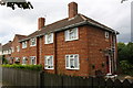
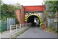
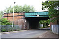
Photos of Park East Ward

Area Information
Living in Park East Ward means residing in a compact district within the Borough of Darlington, a unitary authority located in North East England. This electoral ward spans only 2.02 square kilometres, creating a tightly defined community near the town of Darlington in County Durham. The location sits at approximately 54.5177°N, -1.5534°W, placing it firmly within the established urban fabric of the region. You are entering a specific, bounded geography where every street is easily accessible. The area functions as a distinct ward, yet it remains part of a larger administrative structure designed for local governance and service delivery. When you consider this location, you are looking at a defined space that balances residential needs with municipal infrastructure. The geography is straightforward, avoiding the complexities of complex rural planning constraints. You can navigate the area without encountering protected nature reserves or Ramsar sites, which often complicate development plans in other parts of the country. The ward operates under the framework of the Boundary Commission for England, ensuring its boundaries remain clear and administratively sound. For those moving into the park area, the scale is manageable. You are not dealing with vast rural expanses, but rather a concentrated zone of approximately two square kilometres where local services are centralised. This concentration allows for a direct relationship between residents and the borough administration.
- Area Type
- District Borough Unitary Ward
- Area Size
- 2.0 km²
- Population
- Not available
- Population Density
- Not available
Demographics
The community profile in Park East Ward reveals a settled population with a median age of 70 years. This figure indicates that the majority of residents are seniors, shaping the local demand for amenities such as healthcare and leisure facilities rather than schools or nightlife. The most common age range is recorded as Age: Total, suggesting a population distribution that skews significantly towards older demographics. This age structure implies that the ward functions as a retirement or late-life living hub rather than a family-centric zone. Home ownership stands at 38%, meaning the remaining 62% of households are likely renters, often tenants living in social or private rented sectors. This high rental proportion is a defining characteristic of the local housing market for you to consider. Accommodation types, household composition, predominant ethnic groups, and religious affiliations are recorded as total figures, indicating broad data availability across these categories. Deprivation data is not explicitly detailed in the provided records, but the high median age and significant rental dependency suggest specific socio-economic dynamics. You should expect a quiet, mature environment where long-term residents dominate the scene. The demographic makeup reflects a community that has seen less recent in-migration of young families. When you evaluate homes here, you are entering a space defined by stability and age rather than transient, youthful energy. The data does not speculate on future trends, presenting only the current reality of a predominantly elderly population.
Household Size
Accommodation Type
Tenure
Ethnic Group
Religion
Household Composition
Age
Household Deprivation
NS-SEC
Explore more demographic insights in this area
Go to Demographics tabPlanning
Planning Constraints
- Flood RiskPremium
- Ramsar Wetland SitesPremium
- Area of Outstanding Natural BeautyPremium
- Protected Nature ReservePremium
- Protected WoodlandPremium