Area Overview for NE9 7DD
Photos of NE9 7DD

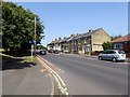
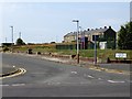
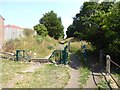

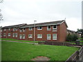
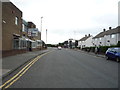
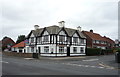
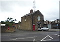
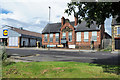
28 photos from this area
Area Information
Key information about the NE9 7DD including its size, population, and administrative classification.
- Area Type
- Postcode
- Area Size
- 5.3 hectares
- Population
- 1530
- Population Density
- 29076 people/km²
House Prices in NE9 7DD
77
Properties
£75,500
Average Sold Price
£64,500
Lowest Price
£95,000
Highest Price
Showing 77 properties
| Address | Type | Beds | Baths | Last Sale Price | Last Sale Date | |
|---|---|---|---|---|---|---|
| 91 Aycliffe Crescent, Springwell Estate, Gateshead, NE9 7DD | Semi-detached | 2 | 1 | £65,000 | Feb 2025 | |
| 30 Aycliffe Crescent, Springwell Estate, Gateshead, NE9 7DD | Semi-detached | 3 | 1 | £95,000 | Nov 2023 | |
| 93 Aycliffe Crescent, Springwell Estate, Gateshead, NE9 7DD | house | - | - | £81,000 | Dec 2017 | |
| 12 Aycliffe Crescent, Springwell Estate, Gateshead, NE9 7DD | house | 3 | - | £78,000 | Jul 2014 | |
| 16 Aycliffe Crescent, Springwell Estate, Gateshead, NE9 7DD | Semi-detached | 2 | 1 | £67,500 | Sep 2012 | |
| 11 Aycliffe Crescent, Springwell Estate, Gateshead, NE9 7DD | house | - | - | £64,500 | Mar 2010 | |
| 47 Aycliffe Crescent, Springwell Estate, Gateshead, NE9 7DD | Semi-detached | - | - | £77,500 | Aug 2004 | |
| 42 Aycliffe Crescent, Springwell Estate, Gateshead, NE9 7DD | Semi-detached | 2 | 1 | - | - | |
| 61 Aycliffe Crescent, Springwell Estate, Gateshead, NE9 7DD | house | 2 | - | - | - | |
| 14 Aycliffe Crescent, Springwell Estate, Gateshead, NE9 7DD | Semi-detached | - | - | - | - |
Page 1 of 8
Energy Efficiency in NE9 7DD
Amenities
Schools
| Rank | School | Type | Entry gender | Ages |
|---|
Explore more schools in this area
Go to Schools tabDemographics
Household Size
N/A
most common
Accommodation Type
N/A
most common
Tenure
N/A
majority
Ethnic Group
N/A
most common
Religion
N/A
most common
Household Composition
N/A
most common
Age
N/A
median
N/A
most common
Household Deprivation
N/A
with no deprivation
NS-SEC
N/A
in Lower managerial occupations
Explore more demographic insights in this area
Go to Demographics tabPlanning
Planning Constraints
- Flood RiskPremium
- Ramsar Wetland SitesPremium
- Area of Outstanding Natural BeautyPremium
- Protected Nature ReservePremium
- Protected WoodlandPremium