Area Overview for NE9 6AD
Photos of NE9 6AD

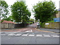
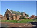
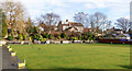
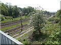
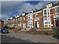


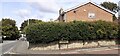
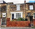
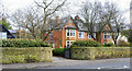
28 photos from this area
Area Information
Key information about the NE9 6AD including its size, population, and administrative classification.
- Area Type
- Postcode
- Area Size
- 1.8 hectares
- Population
- 2063
- Population Density
- 3605 people/km²
House Prices in NE9 6AD
30
Properties
£229,387
Average Sold Price
£19,712
Lowest Price
£665,000
Highest Price
Showing 30 properties
| Address | Type | Beds | Baths | Last Sale Price | Last Sale Date | |
|---|---|---|---|---|---|---|
| 11 Deneside Avenue, Low Fell, Gateshead, NE9 6AD | Semi-detached | 5 | 2 | £410,000 | Nov 2023 | |
| 27 Deneside Avenue, Low Fell, Gateshead, NE9 6AD | Retail | 6 | 3 | £665,000 | May 2022 | |
| 1 Deneside Avenue, Low Fell, Gateshead, NE9 6AD | house | - | - | £296,000 | Oct 2020 | |
| 3 Deneside Avenue, Low Fell, Gateshead, NE9 6AD | house | 4 | 2 | £340,000 | Jul 2019 | |
| 13 Deneside Avenue, Low Fell, Gateshead, NE9 6AD | house | - | - | £275,000 | Apr 2019 | |
| 16 Deneside Avenue, Low Fell, Gateshead, NE9 6AD | house | - | - | £289,950 | Feb 2017 | |
| 5 Deneside Avenue, Low Fell, Gateshead, NE9 6AD | house | - | - | £290,000 | Nov 2016 | |
| 14 Deneside Avenue, Low Fell, Gateshead, NE9 6AD | house | 3 | 1 | £235,000 | Aug 2016 | |
| 28 Deneside Avenue, Low Fell, Gateshead, NE9 6AD | Terraced | - | - | £249,950 | May 2012 | |
| 6 Deneside Avenue, Low Fell, Gateshead, NE9 6AD | house | 3 | - | £210,000 | Sep 2011 |
Page 1 of 3
Energy Efficiency in NE9 6AD
Amenities
Schools
| Rank | School | Type | Entry gender | Ages |
|---|
Explore more schools in this area
Go to Schools tabDemographics
Household Size
One person
most common
Accommodation Type
Houses
most common
Tenure
81
majority
Ethnic Group
White
most common
Religion
N/A
most common
Household Composition
N/A
most common
Age
47
median
Adults (30-64 years)
most common
Household Deprivation
N/A
with no deprivation
NS-SEC
40
in Lower managerial occupations
Explore more demographic insights in this area
Go to Demographics tabPlanning
Planning Constraints
- Flood RiskPremium
- Ramsar Wetland SitesPremium
- Area of Outstanding Natural BeautyPremium
- Protected Nature ReservePremium
- Protected WoodlandPremium