Area Overview for NE9 5UL
Photos of NE9 5UL

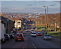
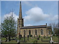
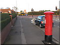
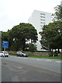
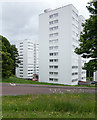
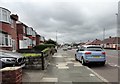
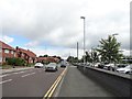
38 photos from this area
Area Information
Key information about the NE9 5UL including its size, population, and administrative classification.
- Area Type
- Postcode
- Area Size
- 3361 m²
- Population
- Not available
- Population Density
- Not available
House Prices in NE9 5UL
20
Properties
£115,114
Average Sold Price
£80,000
Lowest Price
£138,000
Highest Price
Showing 20 properties
| Address | Type | Beds | Baths | Last Sale Price | Last Sale Date | |
|---|---|---|---|---|---|---|
| 7 Cyprus Gardens, Low Fell, Gateshead, NE9 5UL | Flat | 2 | 1 | £132,000 | Dec 2024 | |
| 16 Cyprus Gardens, Low Fell, Gateshead, NE9 5UL | Flat | - | - | £138,000 | Nov 2021 | |
| 18 Cyprus Gardens, Low Fell, Gateshead, NE9 5UL | Flat | - | - | £130,000 | Aug 2020 | |
| 4 Cyprus Gardens, Low Fell, Gateshead, NE9 5UL | Flat | - | - | £128,500 | Jul 2019 | |
| 9 Cyprus Gardens, Low Fell, Gateshead, NE9 5UL | Flat | - | - | £100,000 | Oct 2018 | |
| 14 Cyprus Gardens, Low Fell, Gateshead, NE9 5UL | Flat | - | - | £118,000 | Sep 2016 | |
| 12 Cyprus Gardens, Low Fell, Gateshead, NE9 5UL | Maisonette | - | - | £118,000 | Sep 2016 | |
| 3 Cyprus Gardens, Low Fell, Gateshead, NE9 5UL | Flat | - | - | £117,200 | Feb 2016 | |
| 19 Cyprus Gardens, Low Fell, Gateshead, NE9 5UL | Flat | - | - | £95,000 | Jan 2015 | |
| 13 Cyprus Gardens, Low Fell, Gateshead, NE9 5UL | Flat | - | - | £105,000 | Aug 2014 |
Page 1 of 2
Energy Efficiency in NE9 5UL
Amenities
Schools
| Rank | School | Type | Entry gender | Ages |
|---|
Explore more schools in this area
Go to Schools tabDemographics
Household Size
One person
most common
Accommodation Type
Houses
most common
Tenure
59
majority
Ethnic Group
White
most common
Religion
N/A
most common
Household Composition
N/A
most common
Age
47
median
Adults (30-64 years)
most common
Household Deprivation
N/A
with no deprivation
NS-SEC
36
in Lower managerial occupations
Explore more demographic insights in this area
Go to Demographics tabPlanning
Planning Constraints
- Flood RiskPremium
- Ramsar Wetland SitesPremium
- Area of Outstanding Natural BeautyPremium
- Protected Nature ReservePremium
- Protected WoodlandPremium