Area Overview for NE8 4DX
Photos of NE8 4DX

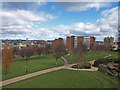
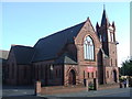
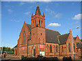
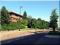
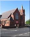
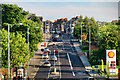
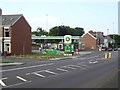
100 photos from this area
Area Information
Key information about the NE8 4DX including its size, population, and administrative classification.
- Area Type
- Postcode
- Area Size
- 3824 m²
- Population
- 1654
- Population Density
- 8807 people/km²
House Prices in NE8 4DX
26
Properties
£115,282
Average Sold Price
£16,000
Lowest Price
£221,100
Highest Price
Showing 26 properties
| Address | Type | Beds | Baths | Last Sale Price | Last Sale Date | |
|---|---|---|---|---|---|---|
| 194-196 Prince Consort Road, Gateshead, NE8 4DX | Flat | - | - | £205,000 | Feb 2024 | |
| 218 Prince Consort Road, Gateshead, NE8 4DX | Terraced | 3 | 1 | £170,000 | Jun 2023 | |
| 230 Prince Consort Road, Gateshead, NE8 4DX | Terraced | 3 | 1 | £221,100 | Oct 2022 | |
| 226 Prince Consort Road, Gateshead, NE8 4DX | house | - | - | £132,500 | Mar 2018 | |
| 220 Prince Consort Road, Gateshead, NE8 4DX | Terraced | 3 | - | £108,000 | Jul 2017 | |
| 200 Prince Consort Road, Gateshead, NE8 4DX | Flat | - | - | £75,000 | Oct 2010 | |
| 222 Prince Consort Road, Gateshead, NE8 4DX | Terraced | - | - | £147,000 | Aug 2005 | |
| 232 Prince Consort Road, Gateshead, NE8 4DX | house | - | - | £109,000 | May 2004 | |
| 234 Prince Consort Road, Gateshead, NE8 4DX | Terraced | - | - | £16,000 | May 1999 | |
| 212 Prince Consort Road, Gateshead, NE8 4DX | Terraced | - | - | £37,500 | Feb 1997 |
Page 1 of 3
Energy Efficiency in NE8 4DX
Amenities
Schools
| Rank | School | Type | Entry gender | Ages |
|---|
Explore more schools in this area
Go to Schools tabDemographics
Household Size
One person
most common
Accommodation Type
Flats
most common
Tenure
39
majority
Ethnic Group
White
most common
Religion
N/A
most common
Household Composition
N/A
most common
Age
47
median
Adults (30-64 years)
most common
Household Deprivation
N/A
with no deprivation
NS-SEC
28
in Lower managerial occupations
Explore more demographic insights in this area
Go to Demographics tabPlanning
Planning Constraints
- Flood RiskPremium
- Ramsar Wetland SitesPremium
- Area of Outstanding Natural BeautyPremium
- Protected Nature ReservePremium
- Protected WoodlandPremium