Area Overview for NE8 1TY
Photos of NE8 1TY

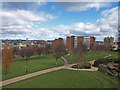
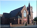
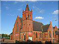
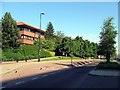
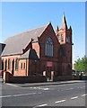
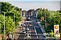
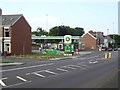
100 photos from this area
Area Information
Key information about the NE8 1TY including its size, population, and administrative classification.
- Area Type
- Postcode
- Area Size
- 8481 m²
- Population
- 2739
- Population Density
- 322959 people/km²
House Prices in NE8 1TY
26
Properties
£174,200
Average Sold Price
£59,000
Lowest Price
£480,000
Highest Price
Showing 26 properties
| Address | Type | Beds | Baths | Last Sale Price | Last Sale Date | |
|---|---|---|---|---|---|---|
| 141 Bewick Road, Bensham, Gateshead, NE8 1TY | Flat | - | - | £90,000 | Mar 2024 | |
| 153 Bewick Road, Bensham, Gateshead, NE8 1TY | house | - | - | £480,000 | Jun 2023 | |
| 157 Bewick Road, Bensham, Gateshead, NE8 1TY | Flat | - | - | £130,000 | Jan 2021 | |
| 159 Bewick Road, Bensham, Gateshead, NE8 1TY | Flat | - | - | £150,000 | Jan 2021 | |
| 133A Bewick Road, Bensham, Gateshead, NE8 1TY | Flat | - | - | £150,000 | Mar 2016 | |
| 151 Bewick Road, Bensham, Gateshead, NE8 1TY | Flat | - | - | £245,000 | Mar 2016 | |
| 101 Bewick Road, Bensham, Gateshead, NE8 1TY | Terraced | 4 | 2 | £100,000 | Jul 2014 | |
| 145 Bewick Road, Bensham, Gateshead, NE8 1TY | house | - | - | £240,000 | Jul 2014 | |
| 137 Bewick Road, Bensham, Gateshead, NE8 1TY | house | - | - | £59,000 | Nov 2003 | |
| 139 Bewick Road, Bensham, Gateshead, NE8 1TY | Terraced | - | - | £98,000 | Sep 2000 |
Page 1 of 3
Energy Efficiency in NE8 1TY
Amenities
Schools
| Rank | School | Type | Entry gender | Ages |
|---|
Explore more schools in this area
Go to Schools tabDemographics
Household Size
N/A
most common
Accommodation Type
N/A
most common
Tenure
N/A
majority
Ethnic Group
N/A
most common
Religion
N/A
most common
Household Composition
N/A
most common
Age
N/A
median
N/A
most common
Household Deprivation
N/A
with no deprivation
NS-SEC
N/A
in Lower managerial occupations
Explore more demographic insights in this area
Go to Demographics tabPlanning
Planning Constraints
- Flood RiskPremium
- Ramsar Wetland SitesPremium
- Area of Outstanding Natural BeautyPremium
- Protected Nature ReservePremium
- Protected WoodlandPremium