Area Overview for NE71 6ST
Photos of NE71 6ST
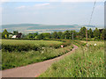
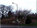
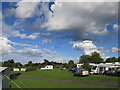
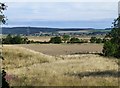
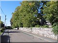
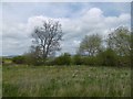
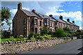
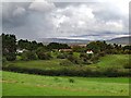
57 photos from this area
Area Information
Key information about the NE71 6ST including its size, population, and administrative classification.
- Area Type
- Postcode
- Area Size
- 25.6 hectares
- Population
- 1930
- Population Density
- 150 people/km²
House Prices in NE71 6ST
9
Properties
£296,667
Average Sold Price
£75,000
Lowest Price
£460,000
Highest Price
Showing 9 properties
| Address | Type | Beds | Baths | Last Sale Price | Last Sale Date | |
|---|---|---|---|---|---|---|
| Fourstones, Gallowlaw, Burnhouse Road, Wooler, NE71 6ST | Detached | 5 | 2 | £430,000 | Nov 2025 | |
| Westone, Gallowlaw, Burnhouse Road, Wooler, NE71 6ST | Detached | 5 | 3 | £460,000 | Nov 2017 | |
| Gefrin, Gallowlaw, Burnhouse Road, Wooler, NE71 6ST | Bungalow | 4 | 2 | £330,000 | Jan 2016 | |
| Westfield, Gallowlaw, Burnhouse Road, Wooler, NE71 6ST | Land | 4 | - | £335,000 | Sep 2013 | |
| Heth House, Gallowlaw, Burnhouse Road, Wooler, NE71 6ST | house | - | - | £75,000 | Dec 1996 | |
| Gallowdene, Gallowlaw, Burnhouse Road, Wooler, NE71 6ST | Detached | - | - | £150,000 | Nov 1996 | |
| The Shieling, Gallowlaw, Burnhouse Road, Wooler, NE71 6ST | Land | - | - | - | - | |
| Applegarth, Gallowlaw, Burnhouse Road, Wooler, NE71 6ST | house | - | - | - | - | |
| The Gwely, Gallowlaw, Burnhouse Road, Wooler, NE71 6ST | Detached | - | - | - | - |
Energy Efficiency in NE71 6ST
Amenities
Schools
| Rank | School | Type | Entry gender | Ages |
|---|
Explore more schools in this area
Go to Schools tabDemographics
Household Size
Two person
most common
Accommodation Type
Houses
most common
Tenure
62
majority
Ethnic Group
White
most common
Religion
N/A
most common
Household Composition
N/A
most common
Age
47
median
Elderly (65+ years)
most common
Household Deprivation
N/A
with no deprivation
NS-SEC
26
in Lower managerial occupations
Explore more demographic insights in this area
Go to Demographics tabPlanning
Planning Constraints
- Flood RiskPremium
- Ramsar Wetland SitesPremium
- Area of Outstanding Natural BeautyPremium
- Protected Nature ReservePremium
- Protected WoodlandPremium