Area Overview for NE71 6NL
Photos of NE71 6NL
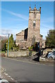
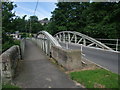
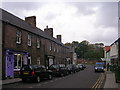
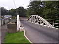
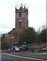
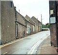
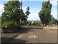
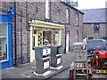
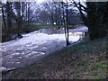
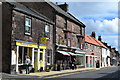
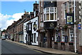
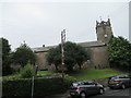
100 photos from this area
Area Information
Key information about the NE71 6NL including its size, population, and administrative classification.
- Area Type
- Postcode
- Area Size
- 1.0 hectares
- Population
- 1930
- Population Density
- 150 people/km²
House Prices in NE71 6NL
8
Properties
£221,625
Average Sold Price
£145,000
Lowest Price
£275,000
Highest Price
Showing 8 properties
| Address | Type | Beds | Baths | Last Sale Price | Last Sale Date | |
|---|---|---|---|---|---|---|
| Millyard Cottage, South Road, Wooler, NE71 6NL | Cottage | 3 | 2 | £217,500 | Nov 2022 | |
| Millvale, 16 South Road, Wooler, NE71 6NL | Terraced | 2 | 1 | £145,000 | Mar 2016 | |
| Millyard House, South Road, Wooler, NE71 6NL | Terraced | - | - | £249,000 | Oct 2007 | |
| Old Mill, South Road, Wooler, NE71 6NL | Detached | - | - | £275,000 | Aug 2004 | |
| Border Architectural Antiques, Workshop Adjacent, 4-6 South Road, Wooler, NE71 6NL | Industrial | - | - | - | - | |
| Thistle Dho, South Road, Wooler, NE71 6NL | house | - | - | - | - | |
| Dog Grooming Salon, Millvale, 16 South Road, Wooler, NE71 6NL | commercial | - | - | - | - | |
| Millvale Cottage, 14 South Road, Wooler, NE71 6NL | Terraced | - | - | - | - |
Energy Efficiency in NE71 6NL
Amenities
Schools
| Rank | School | Type | Entry gender | Ages |
|---|
Explore more schools in this area
Go to Schools tabDemographics
Household Size
Two person
most common
Accommodation Type
Houses
most common
Tenure
62
majority
Ethnic Group
White
most common
Religion
N/A
most common
Household Composition
N/A
most common
Age
47
median
Elderly (65+ years)
most common
Household Deprivation
N/A
with no deprivation
NS-SEC
26
in Lower managerial occupations
Explore more demographic insights in this area
Go to Demographics tabPlanning
Planning Constraints
- Flood RiskPremium
- Ramsar Wetland SitesPremium
- Area of Outstanding Natural BeautyPremium
- Protected Nature ReservePremium
- Protected WoodlandPremium