Area Overview for NE70 7NX
Photos of NE70 7NX
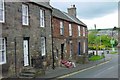
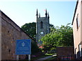
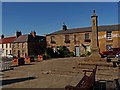
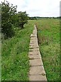
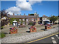

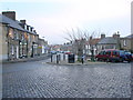
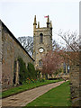
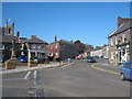
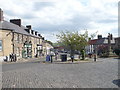
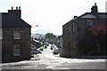
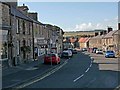
100 photos from this area
Area Information
Key information about the NE70 7NX including its size, population, and administrative classification.
- Area Type
- Postcode
- Area Size
- 3.2 hectares
- Population
- 1960
- Population Density
- 25 people/km²
House Prices in NE70 7NX
47
Properties
£105,405
Average Sold Price
£42,000
Lowest Price
£170,000
Highest Price
Showing 47 properties
| Address | Type | Beds | Baths | Last Sale Price | Last Sale Date | |
|---|---|---|---|---|---|---|
| 11 Williams Way, Belford, NE70 7NX | house | 2 | - | £125,000 | Apr 2021 | |
| 28 Williams Way, Belford, NE70 7NX | Bungalow | 2 | - | £110,000 | Sep 2019 | |
| 10 Williams Way, Belford, NE70 7NX | Terraced | 2 | - | £95,000 | Jul 2019 | |
| 27 Williams Way, Belford, NE70 7NX | Semi-detached | 3 | 1 | £170,000 | Dec 2018 | |
| 12 Williams Way, Belford, NE70 7NX | Terraced | 2 | 1 | £122,500 | Jan 2017 | |
| 18 Williams Way, Belford, NE70 7NX | Bungalow | - | - | £120,000 | Dec 2015 | |
| 19 Williams Way, Belford, NE70 7NX | Semi-detached | 2 | - | £52,000 | Sep 2013 | |
| 29 Williams Way, Belford, NE70 7NX | house | 3 | - | £158,000 | Sep 2011 | |
| 25 Williams Way, Belford, NE70 7NX | Semi-detached | 3 | 1 | £79,950 | Oct 2002 | |
| 2A Williams Way, Belford, NE70 7NX | Detached | - | - | £85,000 | Jan 2002 |
Page 1 of 5
Energy Efficiency in NE70 7NX
Amenities
Schools
| Rank | School | Type | Entry gender | Ages |
|---|
Explore more schools in this area
Go to Schools tabDemographics
Household Size
Two person
most common
Accommodation Type
Houses
most common
Tenure
61
majority
Ethnic Group
White
most common
Religion
N/A
most common
Household Composition
N/A
most common
Age
47
median
Adults (30-64 years)
most common
Household Deprivation
N/A
with no deprivation
NS-SEC
30
in Lower managerial occupations
Explore more demographic insights in this area
Go to Demographics tabPlanning
Planning Constraints
- Flood RiskPremium
- Ramsar Wetland SitesPremium
- Area of Outstanding Natural BeautyPremium
- Protected Nature ReservePremium
- Protected WoodlandPremium