Area Overview for NE70 7EE
Photos of NE70 7EE
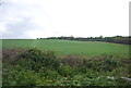
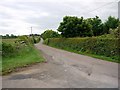
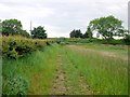
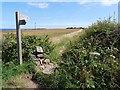
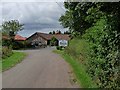
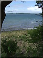
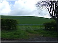
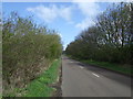
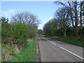
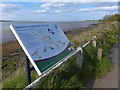
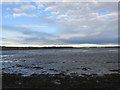
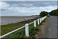
51 photos from this area
Area Information
Key information about the NE70 7EE including its size, population, and administrative classification.
- Area Type
- Postcode
- Area Size
- 1.4 km²
- Population
- 1960
- Population Density
- 25 people/km²
House Prices in NE70 7EE
42
Properties
£245,222
Average Sold Price
£65,000
Lowest Price
£360,000
Highest Price
Showing 42 properties
| Address | Type | Beds | Baths | Last Sale Price | Last Sale Date | |
|---|---|---|---|---|---|---|
| Budle Cottage, B 1342 Dukesfield To Warenmill, Waren Mill, NE70 7EE | Cottage | 2 | 1 | £250,000 | Feb 2025 | |
| The Apple House, U 2006 Outchester Junction To Waren Mill Junction, Waren Mill, NE70 7EE | house | 3 | 2 | £360,000 | Feb 2020 | |
| Toad Hall, B 1342 Waren Mill To Outchester Cottages, Belford, NE70 7EE | Detached | 4 | 2 | £355,000 | Dec 2018 | |
| Watersmeet, B 1342 Dukesfield To Warenmill, Waren Mill, NE70 7EE | Bungalow | 2 | - | £250,000 | Dec 2018 | |
| The Hideaway, B 1342 Dukesfield To Warenmill, Waren Mill, NE70 7EE | Terraced | 2 | 1 | £187,000 | Mar 2016 | |
| Waterside Cottage, B 1342 Dukesfield To Warenmill, Waren Mill, NE70 7EE | Bungalow | 3 | - | £235,000 | Jun 2014 | |
| THE ARCHES, B 1342 DUKESFIELD TO WARENMILL, Waren Mill, NE70 7EE | Terraced | - | - | £225,000 | May 2007 | |
| The Old Granary, B 1342 Dukesfield To Warenmill, Waren Mill, NE70 7EE | Terraced | - | - | £280,000 | Apr 2003 | |
| Millstone Cottage, B 1342 Dukesfield To Warenmill, Waren Mill, NE70 7EE | Detached | - | - | £65,000 | Oct 1996 | |
| 3, Waren Mill Cottages, B 1342 Dukesfield To Warenmill, Waren Mill, NE70 7EE | Detached | 2 | 2 | - | - |
Page 1 of 5
Energy Efficiency in NE70 7EE
Amenities
Schools
| Rank | School | Type | Entry gender | Ages |
|---|
Explore more schools in this area
Go to Schools tabDemographics
Household Size
N/A
most common
Accommodation Type
N/A
most common
Tenure
N/A
majority
Ethnic Group
N/A
most common
Religion
N/A
most common
Household Composition
N/A
most common
Age
N/A
median
N/A
most common
Household Deprivation
N/A
with no deprivation
NS-SEC
N/A
in Lower managerial occupations
Explore more demographic insights in this area
Go to Demographics tabPlanning
Planning Constraints
- Flood RiskPremium
- Ramsar Wetland SitesPremium
- Area of Outstanding Natural BeautyPremium
- Protected Nature ReservePremium
- Protected WoodlandPremium