Area Overview for NE7 7TR
Photos of NE7 7TR
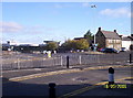
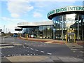
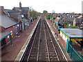
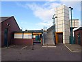
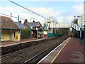
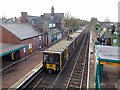
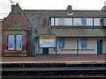
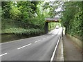
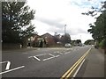
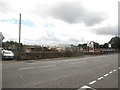
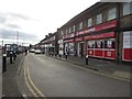
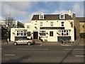
82 photos from this area
Area Information
Key information about the NE7 7TR including its size, population, and administrative classification.
- Area Type
- Postcode
- Area Size
- 1.3 hectares
- Population
- 1661
- Population Density
- 125137 people/km²
House Prices in NE7 7TR
40
Properties
£105,850
Average Sold Price
£25,000
Lowest Price
£200,000
Highest Price
Showing 40 properties
| Address | Type | Beds | Baths | Last Sale Price | Last Sale Date | |
|---|---|---|---|---|---|---|
| 23 Coach Lane, Benton, Newcastle Upon Tyne, NE7 7TR | Terraced | 3 | 1 | £191,000 | Apr 2025 | |
| 83 Coach Lane, Benton, NE7 7TR | Flat | - | - | £125,000 | Nov 2024 | |
| 19 Coach Lane, Benton, Newcastle Upon Tyne, NE7 7TR | Terraced | 3 | 1 | £200,000 | Aug 2024 | |
| 67 Coach Lane, Benton, NE7 7TR | Flat | - | - | £95,000 | Dec 2021 | |
| 77 Coach Lane, Benton, NE7 7TR | Flat | 2 | 1 | £98,000 | Oct 2021 | |
| 81 Coach Lane, Benton, NE7 7TR | Flat | - | - | £110,000 | Jun 2021 | |
| 13 Coach Lane, Benton, Newcastle Upon Tyne, NE7 7TR | Semi-detached | 4 | 1 | £127,500 | Sep 2018 | |
| 45 Coach Lane, Benton, Newcastle Upon Tyne, NE7 7TR | house | - | - | £155,000 | Apr 2017 | |
| 61 Coach Lane, Benton, Newcastle Upon Tyne, NE7 7TR | house | - | - | £135,000 | Mar 2016 | |
| 69 Coach Lane, Benton, NE7 7TR | Flat | - | - | £91,000 | Jul 2015 |
Page 1 of 4
Energy Efficiency in NE7 7TR
Amenities
Schools
| Rank | School | Type | Entry gender | Ages |
|---|
Explore more schools in this area
Go to Schools tabDemographics
Household Size
Two person
most common
Accommodation Type
Houses
most common
Tenure
60
majority
Ethnic Group
White
most common
Religion
N/A
most common
Household Composition
N/A
most common
Age
47
median
Adults (30-64 years)
most common
Household Deprivation
N/A
with no deprivation
NS-SEC
42
in Lower managerial occupations
Explore more demographic insights in this area
Go to Demographics tabPlanning
Planning Constraints
- Flood RiskPremium
- Ramsar Wetland SitesPremium
- Area of Outstanding Natural BeautyPremium
- Protected Nature ReservePremium
- Protected WoodlandPremium