Area Overview for NE7 7GP
Photos of NE7 7GP
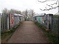
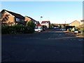
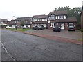
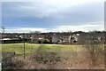

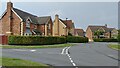
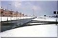
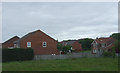
23 photos from this area
Area Information
Key information about the NE7 7GP including its size, population, and administrative classification.
- Area Type
- Postcode
- Area Size
- 1.0 hectares
- Population
- 1791
- Population Density
- 2690 people/km²
House Prices in NE7 7GP
20
Properties
£299,550
Average Sold Price
£149,000
Lowest Price
£495,000
Highest Price
Showing 20 properties
| Address | Type | Beds | Baths | Last Sale Price | Last Sale Date | |
|---|---|---|---|---|---|---|
| 2 Ramshaw Close, Little Benton, Newcastle Upon Tyne, NE7 7GP | Detached | 4 | 2 | £495,000 | Jul 2025 | |
| 7 Ramshaw Close, Little Benton, Newcastle Upon Tyne, NE7 7GP | Detached | 4 | 2 | £490,000 | Jul 2025 | |
| 11 Ramshaw Close, Little Benton, Newcastle Upon Tyne, NE7 7GP | Detached | 4 | 2 | £450,000 | Mar 2024 | |
| 8 Ramshaw Close, Little Benton, Newcastle Upon Tyne, NE7 7GP | Detached | 4 | 1 | £427,500 | Jun 2022 | |
| 20 Ramshaw Close, Little Benton, Newcastle Upon Tyne, NE7 7GP | Detached | 4 | 2 | £332,500 | Apr 2020 | |
| 10 Ramshaw Close, Little Benton, Newcastle Upon Tyne, NE7 7GP | Detached | 4 | 2 | £475,000 | Feb 2018 | |
| 3 Ramshaw Close, Little Benton, Newcastle Upon Tyne, NE7 7GP | Detached | 4 | 2 | £360,000 | Oct 2017 | |
| 17 Ramshaw Close, Little Benton, Newcastle Upon Tyne, NE7 7GP | house | - | - | £280,000 | Jul 2012 | |
| 15 Ramshaw Close, Little Benton, Newcastle Upon Tyne, NE7 7GP | Detached | - | - | £300,000 | Oct 2009 | |
| 1 Ramshaw Close, Little Benton, Newcastle Upon Tyne, NE7 7GP | Detached | - | - | £390,000 | Sep 2007 |
Page 1 of 2
Energy Efficiency in NE7 7GP
Amenities
Schools
| Rank | School | Type | Entry gender | Ages |
|---|
Explore more schools in this area
Go to Schools tabDemographics
Household Size
Family (3-5 people)
most common
Accommodation Type
Houses
most common
Tenure
91
majority
Ethnic Group
White
most common
Religion
N/A
most common
Household Composition
N/A
most common
Age
47
median
Adults (30-64 years)
most common
Household Deprivation
N/A
with no deprivation
NS-SEC
48
in Lower managerial occupations
Explore more demographic insights in this area
Go to Demographics tabPlanning
Planning Constraints
- Flood RiskPremium
- Ramsar Wetland SitesPremium
- Area of Outstanding Natural BeautyPremium
- Protected Nature ReservePremium
- Protected WoodlandPremium