Area Overview for NE7 7DN
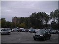
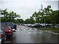
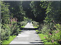
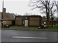
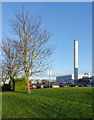
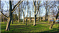
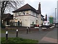
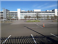
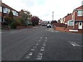
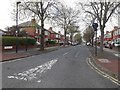
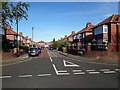
Photos of NE7 7DN

Area Information
NE7 7DN is a small, densely populated residential area in England, covering just 8.9 hectares and home to 1,707 residents. Its compact size means it is a tightly knit community, with a population density of 19,249 people per square kilometre. This area is characterised by its cluster of homes, predominantly owner-occupied, and a demographic skewed toward adults aged 30–64. Daily life here is shaped by proximity to essential services, with nearby shops, transport links, and schools within practical reach. The area’s small footprint means it is ideal for those seeking a compact, well-serviced environment without the sprawl of larger suburbs. While it lacks natural landscapes or protected areas, its accessibility to Newcastle’s infrastructure—such as rail, metro, and ferry services—makes it a practical choice for commuters. The presence of multiple schools, including special educational provisions, adds to its appeal for families. However, the high population density and limited open space mean it is not suited to those prioritising rural or low-density living.
- Area Type
- Postcode
- Area Size
- 8.9 hectares
- Population
- 1707
- Population Density
- 2038 people/km²
The property market in NE7 7DN is dominated by owner-occupied homes, with 75% of residents living in properties they own. The accommodation type is primarily houses, which is unusual for urban areas with higher flat or apartment density. This suggests a market skewed toward family homes rather than rental properties, making it less attractive to investors or those seeking short-term lets. The small area size—just 8.9 hectares—means the housing stock is limited, with little scope for new developments. Buyers should expect a competitive market for existing homes, particularly those with garden space or larger layouts. The high home ownership rate also implies that properties may be held for the long term, reducing turnover. For those considering the area, the focus on houses may appeal to buyers prioritising space and privacy, though the compact nature of the postcode means proximity to amenities comes at the cost of limited open land.
House Prices in NE7 7DN
Showing 42 properties
Energy Efficiency in NE7 7DN
Daily life in NE7 7DN is shaped by its proximity to a range of amenities. Retail options include Asda South, Lidl South, and Sainsburys Newcastle Haddricks, ensuring easy access to groceries and everyday shopping. The area’s transport links connect residents to metro, rail, and bus services, with nearby stations such as Longbenton, South Gosforth, and Manors Railway Station facilitating travel to Newcastle’s business and cultural centres. For leisure, the nearby Newcastle Airport and ferry terminals provide opportunities for travel or tourism. While the data does not specify parks or recreational spaces, the presence of multiple schools and shops suggests a focus on practicality over open green spaces. The compact nature of the area means amenities are closely clustered, offering convenience but potentially limiting access to larger public spaces.
Amenities
Schools
NE7 7DN is served by a range of schools, including St Mary’s Catholic Comprehensive School, which provides primary education, and several special schools such as St Peter’s Special School, Castle Dene Special School, Freeman Hospital School, and St Peter’s School. This mix of school types indicates a strong focus on supporting diverse educational needs, particularly for children with special requirements. The presence of multiple special schools suggests the area is well-suited for families requiring tailored educational provisions. However, there are no secondary schools listed in the data, which may mean residents rely on nearby districts for high school education. The availability of specialist schools is a key advantage for families with children needing additional support, though parents should verify the exact catchment areas and transportation links for these institutions.
| Rank | School | Type | Entry gender | Ages |
|---|
Explore more schools in this area
Go to Schools tabDemographics
The population of NE7 7DN is predominantly adults aged 30–64, with a median age of 47. This suggests a mature, stable community, likely with established careers and families. Home ownership is high at 75%, indicating a strong presence of long-term residents rather than a transient rental market. The accommodation type is primarily houses, which contrasts with areas dominated by flats or apartments. The predominant ethnic group is White, with no specific data on other demographics provided. The age profile and ownership rates suggest a community focused on stability and family life. However, the high population density—over 19,000 people per square kilometre—may impact living conditions, potentially leading to overcrowding or pressure on local services. This density also means that amenities are closely packed, which can be both a convenience and a challenge for residents.
Household Size
Accommodation Type
Tenure
Ethnic Group
Religion
Household Composition
Age
Household Deprivation
NS-SEC
Explore more demographic insights in this area
Go to Demographics tabPlanning
Planning Constraints
- Flood RiskPremium
- Ramsar Wetland SitesPremium
- Area of Outstanding Natural BeautyPremium
- Protected Nature ReservePremium
- Protected WoodlandPremium