Area Overview for NE66 3TP
Photos of NE66 3TP
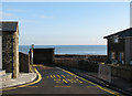
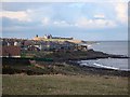
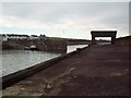
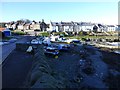
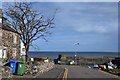
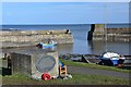
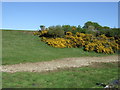
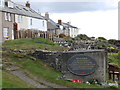
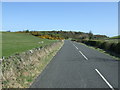
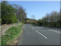
100 photos from this area
Area Information
Key information about the NE66 3TP including its size, population, and administrative classification.
- Area Type
- Postcode
- Area Size
- 2.1 hectares
- Population
- 1512
- Population Density
- 26 people/km²
House Prices in NE66 3TP
16
Properties
£296,347
Average Sold Price
£64,950
Lowest Price
£592,500
Highest Price
Showing 16 properties
| Address | Type | Beds | Baths | Last Sale Price | Last Sale Date | |
|---|---|---|---|---|---|---|
| 11 Whin Hill, Craster, NE66 3TP | house | 2 | - | £475,000 | Jul 2023 | |
| 21 Whin Hill, Craster, NE66 3TP | Detached | 4 | - | £560,000 | Oct 2020 | |
| Harbour Lights, 16A Whin Hill, Craster, NE66 3TP | Terraced | 4 | 3 | £592,500 | Sep 2019 | |
| 9 Whin Hill, Craster, NE66 3TP | house | - | - | £249,177 | Nov 2012 | |
| 16 Whin Hill, Craster, NE66 3TP | Terraced | - | - | £272,500 | Apr 2009 | |
| 22 Whin Hill, Craster, NE66 3TP | Terraced | - | - | £188,000 | May 2005 | |
| 6 Whin Hill, Craster, NE66 3TP | Terraced | - | - | £179,000 | Feb 2005 | |
| Bede Cottage, 2 Whin Hill, Craster, NE66 3TP | Terraced | - | - | £86,000 | May 2002 | |
| 8 Whin Hill, Craster, NE66 3TP | house | - | - | £64,950 | Oct 1998 | |
| 14 Whin Hill, Craster, NE66 3TP | Terraced | 3 | 1 | - | - |
Page 1 of 2
Energy Efficiency in NE66 3TP
Amenities
Schools
| Rank | School | Type | Entry gender | Ages |
|---|
Explore more schools in this area
Go to Schools tabDemographics
Household Size
Two person
most common
Accommodation Type
Houses
most common
Tenure
65
majority
Ethnic Group
White
most common
Religion
N/A
most common
Household Composition
N/A
most common
Age
47
median
Adults (30-64 years)
most common
Household Deprivation
N/A
with no deprivation
NS-SEC
38
in Lower managerial occupations
Explore more demographic insights in this area
Go to Demographics tabPlanning
Planning Constraints
- Flood RiskPremium
- Ramsar Wetland SitesPremium
- Area of Outstanding Natural BeautyPremium
- Protected Nature ReservePremium
- Protected WoodlandPremium