Area Overview for NE65 0DN
Photos of NE65 0DN
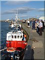
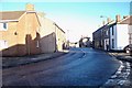
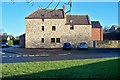
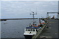
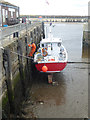
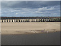
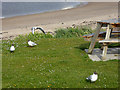
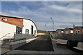
100 photos from this area
Area Information
Key information about the NE65 0DN including its size, population, and administrative classification.
- Area Type
- Postcode
- Area Size
- 4046 m²
- Population
- 1638
- Population Density
- 404812 people/km²
House Prices in NE65 0DN
9
Properties
£123,417
Average Sold Price
£35,000
Lowest Price
£167,500
Highest Price
Showing 9 properties
| Address | Type | Beds | Baths | Last Sale Price | Last Sale Date | |
|---|---|---|---|---|---|---|
| 17 Lawson Street, Amble, NE65 0DN | Terraced | 3 | 1 | £167,500 | Oct 2019 | |
| 7 LAWSON STREET, Amble, NE65 0DN | Terraced | 3 | 1 | £150,000 | Sep 2018 | |
| 19 Lawson Street, Amble, NE65 0DN | Terraced | 3 | - | £143,000 | Apr 2015 | |
| 21 Lawson Street, Amble, NE65 0DN | house | 3 | - | £135,000 | Jul 2011 | |
| The Lobster Pot, 3 Lawson Street, Amble, NE65 0DN | house | - | - | £110,000 | Mar 2010 | |
| 15 Lawson Street, Amble, NE65 0DN | Terraced | - | - | £35,000 | Apr 1995 | |
| 5 Lawson Street, Amble, NE65 0DN | house | - | - | - | - | |
| 9 Lawson Street, Amble, NE65 0DN | Terraced | - | - | - | - | |
| 13 Lawson Street, Amble, NE65 0DN | house | - | - | - | - |
Energy Efficiency in NE65 0DN
Amenities
Schools
| Rank | School | Type | Entry gender | Ages |
|---|
Explore more schools in this area
Go to Schools tabDemographics
Household Size
N/A
most common
Accommodation Type
N/A
most common
Tenure
N/A
majority
Ethnic Group
N/A
most common
Religion
N/A
most common
Household Composition
N/A
most common
Age
N/A
median
N/A
most common
Household Deprivation
N/A
with no deprivation
NS-SEC
N/A
in Lower managerial occupations
Explore more demographic insights in this area
Go to Demographics tabPlanning
Planning Constraints
- Flood RiskPremium
- Ramsar Wetland SitesPremium
- Area of Outstanding Natural BeautyPremium
- Protected Nature ReservePremium
- Protected WoodlandPremium