Area Overview for NE63 9NG
Photos of NE63 9NG
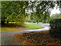
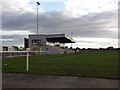
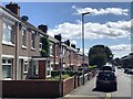
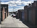
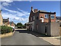
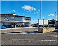
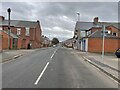
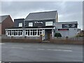
25 photos from this area
Area Information
Key information about the NE63 9NG including its size, population, and administrative classification.
- Area Type
- Postcode
- Area Size
- 3.0 hectares
- Population
- 1738
- Population Density
- 57347 people/km²
House Prices in NE63 9NG
36
Properties
£61,934
Average Sold Price
£24,500
Lowest Price
£128,500
Highest Price
Showing 36 properties
| Address | Type | Beds | Baths | Last Sale Price | Last Sale Date | |
|---|---|---|---|---|---|---|
| 162 Ariel Street, Ashington, NE63 9NG | house | 2 | 1 | £32,500 | Apr 2024 | |
| 196 Ariel Street, Ashington, NE63 9NG | Terraced | 2 | 1 | £77,599 | Mar 2024 | |
| 160 Ariel Street, Ashington, NE63 9NG | Terraced | 3 | - | £70,000 | Dec 2023 | |
| 184 Ariel Street, Ashington, NE63 9NG | Terraced | 2 | - | £70,000 | Oct 2023 | |
| 152 Ariel Street, Ashington, NE63 9NG | Terraced | 2 | 1 | £67,000 | May 2018 | |
| 176 Ariel Street, Ashington, NE63 9NG | house | - | - | £61,500 | Jan 2017 | |
| 154 Ariel Street, Ashington, NE63 9NG | house | - | - | £75,000 | Dec 2016 | |
| 166 Ariel Street, Ashington, NE63 9NG | house | 2 | 1 | £42,000 | Dec 2016 | |
| 158 Ariel Street, Ashington, NE63 9NG | house | - | - | £60,000 | May 2016 | |
| 170 Ariel Street, Ashington, NE63 9NG | Terraced | 2 | 1 | £62,000 | Aug 2015 |
Page 1 of 4
Energy Efficiency in NE63 9NG
Amenities
Schools
| Rank | School | Type | Entry gender | Ages |
|---|
Explore more schools in this area
Go to Schools tabDemographics
Household Size
N/A
most common
Accommodation Type
N/A
most common
Tenure
N/A
majority
Ethnic Group
N/A
most common
Religion
N/A
most common
Household Composition
N/A
most common
Age
N/A
median
N/A
most common
Household Deprivation
N/A
with no deprivation
NS-SEC
N/A
in Lower managerial occupations
Explore more demographic insights in this area
Go to Demographics tabPlanning
Planning Constraints
- Flood RiskPremium
- Ramsar Wetland SitesPremium
- Area of Outstanding Natural BeautyPremium
- Protected Nature ReservePremium
- Protected WoodlandPremium