Area Overview for NE63 9GX
Photos of NE63 9GX
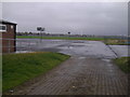

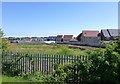
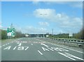
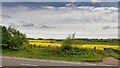
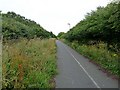
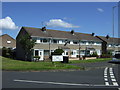
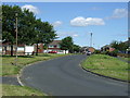

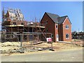

12 photos from this area
Area Information
Key information about the NE63 9GX including its size, population, and administrative classification.
- Area Type
- Postcode
- Area Size
- 7176 m²
- Population
- 2859
- Population Density
- 2687 people/km²
House Prices in NE63 9GX
35
Properties
£195,754
Average Sold Price
£150,000
Lowest Price
£376,000
Highest Price
Showing 35 properties
| Address | Type | Beds | Baths | Last Sale Price | Last Sale Date | |
|---|---|---|---|---|---|---|
| 2 Slaley Drive, Seaton Vale, Ashington, NE63 9GX | Semi-detached | 3 | 3 | £162,000 | Dec 2023 | |
| 3 Slaley Drive, Seaton Vale, Ashington, NE63 9GX | Terraced | 4 | 3 | £163,000 | Sep 2023 | |
| 1 Slaley Drive, Seaton Vale, Ashington, NE63 9GX | Terraced | 3 | 2 | £159,000 | Aug 2023 | |
| 5 Slaley Drive, Seaton Vale, Ashington, NE63 9GX | Terraced | 4 | 3 | £172,500 | Nov 2022 | |
| 6 Slaley Drive, Seaton Vale, Ashington, NE63 9GX | house | - | - | £165,000 | Jun 2022 | |
| 21 Slaley Drive, Seaton Vale, Ashington, NE63 9GX | house | - | - | £376,000 | May 2022 | |
| 16 Slaley Drive, Seaton Vale, Ashington, NE63 9GX | house | - | - | £242,950 | Dec 2020 | |
| 9 Slaley Drive, Seaton Vale, Ashington, NE63 9GX | house | 4 | - | £160,000 | Jun 2020 | |
| 14 Slaley Drive, Seaton Vale, Ashington, NE63 9GX | house | - | - | £150,850 | Dec 2019 | |
| 13 Slaley Drive, Seaton Vale, Ashington, NE63 9GX | house | - | - | £150,850 | Dec 2019 |
Page 1 of 4
Energy Efficiency in NE63 9GX
Amenities
Schools
| Rank | School | Type | Entry gender | Ages |
|---|
Explore more schools in this area
Go to Schools tabDemographics
Household Size
Family (3-5 people)
most common
Accommodation Type
Houses
most common
Tenure
87
majority
Ethnic Group
White
most common
Religion
N/A
most common
Household Composition
N/A
most common
Age
47
median
Adults (30-64 years)
most common
Household Deprivation
N/A
with no deprivation
NS-SEC
39
in Lower managerial occupations
Explore more demographic insights in this area
Go to Demographics tabPlanning
Planning Constraints
- Flood RiskPremium
- Ramsar Wetland SitesPremium
- Area of Outstanding Natural BeautyPremium
- Protected Nature ReservePremium
- Protected WoodlandPremium