Area Overview for NE61 1XD
Photos of NE61 1XD
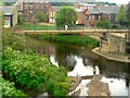
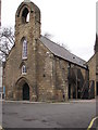
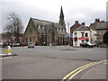
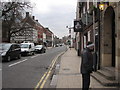
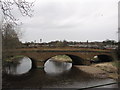
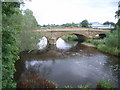
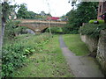
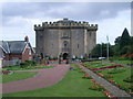
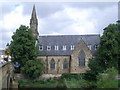
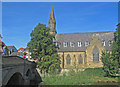
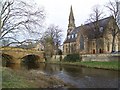
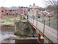
100 photos from this area
Area Information
Key information about the NE61 1XD including its size, population, and administrative classification.
- Area Type
- Postcode
- Area Size
- 3.1 hectares
- Population
- 1311
- Population Density
- 785 people/km²
House Prices in NE61 1XD
32
Properties
£267,391
Average Sold Price
£70,000
Lowest Price
£430,000
Highest Price
Showing 32 properties
| Address | Type | Beds | Baths | Last Sale Price | Last Sale Date | |
|---|---|---|---|---|---|---|
| 20 Bankside, Allery Banks, Morpeth, NE61 1XD | house | 3 | 1 | £340,000 | Dec 2024 | |
| 24 Bankside, Allery Banks, Morpeth, NE61 1XD | house | - | - | £280,000 | Feb 2024 | |
| 30 Bankside, Allery Banks, Morpeth, NE61 1XD | house | - | - | £335,000 | Jul 2023 | |
| 28 Bankside, Allery Banks, Morpeth, NE61 1XD | house | 3 | 1 | £300,000 | Sep 2022 | |
| 25 Bankside, Allery Banks, Morpeth, NE61 1XD | house | - | - | £282,500 | May 2021 | |
| 2 Bankside, Allery Banks, Morpeth, NE61 1XD | house | - | - | £430,000 | Oct 2020 | |
| 11 Bankside, Allery Banks, Morpeth, NE61 1XD | house | - | - | £355,000 | Apr 2019 | |
| 17 Bankside, Allery Banks, Morpeth, NE61 1XD | Detached | 4 | 4 | £418,000 | Apr 2019 | |
| 9 Bankside, Allery Banks, Morpeth, NE61 1XD | house | - | - | £420,000 | Mar 2016 | |
| 6 Bankside, Allery Banks, Morpeth, NE61 1XD | Detached | 4 | 2 | £320,000 | Oct 2014 |
Page 1 of 4
Energy Efficiency in NE61 1XD
Amenities
Schools
| Rank | School | Type | Entry gender | Ages |
|---|
Explore more schools in this area
Go to Schools tabDemographics
Household Size
Two person
most common
Accommodation Type
Houses
most common
Tenure
73
majority
Ethnic Group
White
most common
Religion
N/A
most common
Household Composition
N/A
most common
Age
47
median
Adults (30-64 years)
most common
Household Deprivation
N/A
with no deprivation
NS-SEC
40
in Lower managerial occupations
Explore more demographic insights in this area
Go to Demographics tabPlanning
Planning Constraints
- Flood RiskPremium
- Ramsar Wetland SitesPremium
- Area of Outstanding Natural BeautyPremium
- Protected Nature ReservePremium
- Protected WoodlandPremium