Area Overview for NE6 2TA
Photos of NE6 2TA
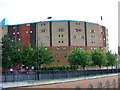
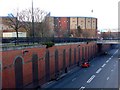
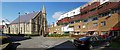
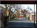
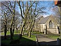
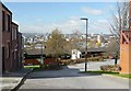
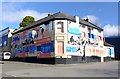
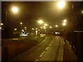
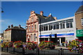
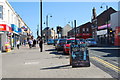
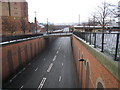
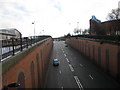
97 photos from this area
Area Information
Key information about the NE6 2TA including its size, population, and administrative classification.
- Area Type
- Postcode
- Area Size
- 1.2 hectares
- Population
- 1624
- Population Density
- 137706 people/km²
House Prices in NE6 2TA
51
Properties
£75,772
Average Sold Price
£48,950
Lowest Price
£118,000
Highest Price
Showing 51 properties
| Address | Type | Beds | Baths | Last Sale Price | Last Sale Date | |
|---|---|---|---|---|---|---|
| 25 Norbury Grove, Byker, Newcastle Upon Tyne, NE6 2TA | house | - | - | £110,000 | Sep 2024 | |
| 24 Norbury Grove, Byker, Newcastle Upon Tyne, NE6 2TA | Terraced | 2 | - | £62,000 | Nov 2023 | |
| 53 Norbury Grove, Byker, Newcastle Upon Tyne, NE6 2TA | Terraced | 3 | 1 | £118,000 | Jun 2022 | |
| 26 Norbury Grove, Byker, Newcastle Upon Tyne, NE6 2TA | house | - | - | £65,000 | Nov 2019 | |
| 15 Norbury Grove, Byker, Newcastle Upon Tyne, NE6 2TA | Terraced | 2 | 1 | £75,000 | Jan 2019 | |
| 19 Norbury Grove, Byker, Newcastle Upon Tyne, NE6 2TA | Terraced | 3 | 1 | £50,000 | Nov 2017 | |
| 45 Norbury Grove, Byker, Newcastle Upon Tyne, NE6 2TA | house | - | - | £80,000 | Oct 2006 | |
| 43 Norbury Grove, Byker, Newcastle Upon Tyne, NE6 2TA | Terraced | 3 | 1 | £73,000 | Oct 2004 | |
| 1 Norbury Grove, Byker, Newcastle Upon Tyne, NE6 2TA | Semi-detached | - | - | £48,950 | Feb 2003 | |
| 28A Norbury Grove, Byker, Newcastle Upon Tyne, NE6 2TA | Flat | 1 | 1 | - | - |
Page 1 of 6
Energy Efficiency in NE6 2TA
Amenities
Schools
| Rank | School | Type | Entry gender | Ages |
|---|
Explore more schools in this area
Go to Schools tabDemographics
Household Size
One person
most common
Accommodation Type
Flats
most common
Tenure
41
majority
Ethnic Group
White
most common
Religion
N/A
most common
Household Composition
N/A
most common
Age
47
median
Adults (30-64 years)
most common
Household Deprivation
N/A
with no deprivation
NS-SEC
33
in Lower managerial occupations
Explore more demographic insights in this area
Go to Demographics tabPlanning
Planning Constraints
- Flood RiskPremium
- Ramsar Wetland SitesPremium
- Area of Outstanding Natural BeautyPremium
- Protected Nature ReservePremium
- Protected WoodlandPremium