Area Overview for NE6 2SS
Photos of NE6 2SS
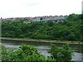
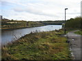
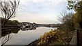
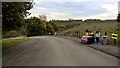
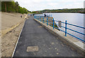
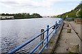
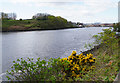
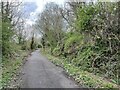
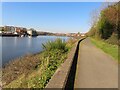
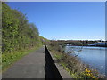
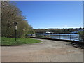
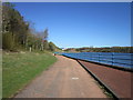
36 photos from this area
Area Information
Key information about the NE6 2SS including its size, population, and administrative classification.
- Area Type
- Postcode
- Area Size
- 9354 m²
- Population
- 1674
- Population Density
- 6688 people/km²
House Prices in NE6 2SS
34
Properties
£62,000
Average Sold Price
£18,000
Lowest Price
£80,000
Highest Price
Showing 34 properties
| Address | Type | Beds | Baths | Last Sale Price | Last Sale Date | |
|---|---|---|---|---|---|---|
| 99 Kingston Avenue, Walker, Newcastle Upon Tyne, NE6 2SS | Terraced | 2 | 1 | £80,000 | Oct 2024 | |
| 83 Kingston Avenue, Walker, Newcastle Upon Tyne, NE6 2SS | house | 3 | 1 | £70,000 | Aug 2019 | |
| 89 Kingston Avenue, Walker, Newcastle Upon Tyne, NE6 2SS | Terraced | 3 | 1 | £80,000 | May 2019 | |
| 138 Kingston Avenue, Walker, Newcastle Upon Tyne, NE6 2SS | Bungalow | - | - | £18,000 | Jul 2000 | |
| 116 Kingston Avenue, Walker, Newcastle Upon Tyne, NE6 2SS | house | - | - | - | - | |
| 81 Kingston Avenue, Walker, Newcastle Upon Tyne, NE6 2SS | house | - | - | - | - | |
| 104 Kingston Avenue, Walker, Newcastle Upon Tyne, NE6 2SS | Terraced | - | - | - | - | |
| 124 Kingston Avenue, Walker, Newcastle Upon Tyne, NE6 2SS | house | - | - | - | - | |
| 110 Kingston Avenue, Walker, Newcastle Upon Tyne, NE6 2SS | Terraced | - | - | - | - | |
| 134 Kingston Avenue, Walker, Newcastle Upon Tyne, NE6 2SS | house | - | - | - | - |
Page 1 of 4
Energy Efficiency in NE6 2SS
Amenities
Schools
| Rank | School | Type | Entry gender | Ages |
|---|
Explore more schools in this area
Go to Schools tabDemographics
Household Size
One person
most common
Accommodation Type
Houses
most common
Tenure
25
majority
Ethnic Group
White
most common
Religion
N/A
most common
Household Composition
N/A
most common
Age
47
median
Adults (30-64 years)
most common
Household Deprivation
N/A
with no deprivation
NS-SEC
12
in Lower managerial occupations
Explore more demographic insights in this area
Go to Demographics tabPlanning
Planning Constraints
- Flood RiskPremium
- Ramsar Wetland SitesPremium
- Area of Outstanding Natural BeautyPremium
- Protected Nature ReservePremium
- Protected WoodlandPremium