Area Overview for NE6 2RX
Photos of NE6 2RX
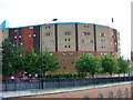

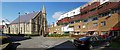
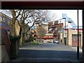
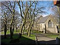
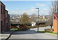
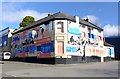
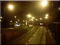
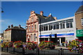
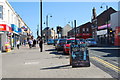
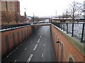
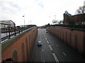
97 photos from this area
Area Information
Key information about the NE6 2RX including its size, population, and administrative classification.
- Area Type
- Postcode
- Area Size
- 8187 m²
- Population
- 1827
- Population Density
- 1860 people/km²
House Prices in NE6 2RX
47
Properties
£52,659
Average Sold Price
£23,000
Lowest Price
£108,000
Highest Price
Showing 47 properties
| Address | Type | Beds | Baths | Last Sale Price | Last Sale Date | |
|---|---|---|---|---|---|---|
| 206 Scarborough Road, Byker, Newcastle Upon Tyne, NE6 2RX | Flat | - | - | £50,000 | Nov 2025 | |
| 221 Scarborough Road, Byker, Newcastle Upon Tyne, NE6 2RX | Flat | - | - | £40,000 | Aug 2024 | |
| 214 Scarborough Road, Byker, Newcastle Upon Tyne, NE6 2RX | Flat | 2 | 1 | £45,000 | Apr 2024 | |
| 194 Scarborough Road, Byker, Newcastle Upon Tyne, NE6 2RX | Flat | 2 | - | £50,000 | Feb 2024 | |
| 196 Scarborough Road, Byker, Newcastle Upon Tyne, NE6 2RX | Flat | - | - | £50,000 | Feb 2024 | |
| 233 Scarborough Road, Byker, Newcastle Upon Tyne, NE6 2RX | Flat | 2 | 1 | £45,000 | Aug 2023 | |
| 198 Scarborough Road, Byker, Newcastle Upon Tyne, NE6 2RX | Flat | - | - | £65,000 | Apr 2022 | |
| 200 Scarborough Road, Byker, Newcastle Upon Tyne, NE6 2RX | Flat | - | - | £65,000 | Apr 2022 | |
| 176 Scarborough Road, Byker, Newcastle Upon Tyne, NE6 2RX | Flat | - | - | £65,000 | Dec 2021 | |
| 195 Scarborough Road, Byker, Newcastle Upon Tyne, NE6 2RX | Flat | 2 | 1 | £50,000 | Nov 2021 |
Page 1 of 5
Energy Efficiency in NE6 2RX
Amenities
Schools
| Rank | School | Type | Entry gender | Ages |
|---|
Explore more schools in this area
Go to Schools tabDemographics
Household Size
One person
most common
Accommodation Type
Houses
most common
Tenure
42
majority
Ethnic Group
White
most common
Religion
N/A
most common
Household Composition
N/A
most common
Age
47
median
Adults (30-64 years)
most common
Household Deprivation
N/A
with no deprivation
NS-SEC
20
in Lower managerial occupations
Explore more demographic insights in this area
Go to Demographics tabPlanning
Planning Constraints
- Flood RiskPremium
- Ramsar Wetland SitesPremium
- Area of Outstanding Natural BeautyPremium
- Protected Nature ReservePremium
- Protected WoodlandPremium