Area Overview for NE5 5DR
Photos of NE5 5DR
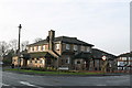
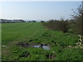
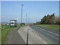
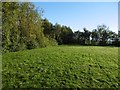
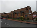
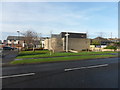
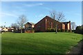
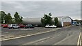

35 photos from this area
Area Information
Key information about the NE5 5DR including its size, population, and administrative classification.
- Area Type
- Postcode
- Area Size
- 7075 m²
- Population
- 1462
- Population Density
- 206629 people/km²
House Prices in NE5 5DR
22
Properties
£103,375
Average Sold Price
£83,000
Lowest Price
£128,000
Highest Price
Showing 22 properties
| Address | Type | Beds | Baths | Last Sale Price | Last Sale Date | |
|---|---|---|---|---|---|---|
| 141 Linbridge Drive, West Denton, Newcastle Upon Tyne, NE5 5DR | house | 3 | - | £127,000 | Feb 2022 | |
| 147 Linbridge Drive, West Denton, Newcastle Upon Tyne, NE5 5DR | Terraced | 3 | 1 | £95,000 | Jul 2021 | |
| 111 Linbridge Drive, West Denton, Newcastle Upon Tyne, NE5 5DR | house | - | - | £118,000 | May 2021 | |
| 129 Linbridge Drive, West Denton, Newcastle Upon Tyne, NE5 5DR | Semi-detached | 3 | 1 | £128,000 | Jan 2020 | |
| 113 Linbridge Drive, West Denton, Newcastle Upon Tyne, NE5 5DR | house | - | - | £87,500 | Mar 2016 | |
| 139 Linbridge Drive, West Denton, Newcastle Upon Tyne, NE5 5DR | house | - | - | £83,500 | Apr 2014 | |
| 151 Linbridge Drive, West Denton, Newcastle Upon Tyne, NE5 5DR | Semi-detached | 3 | - | £83,000 | Nov 2013 | |
| 127 Linbridge Drive, West Denton, Newcastle Upon Tyne, NE5 5DR | Semi-detached | 3 | 1 | £105,000 | Oct 2004 | |
| 109 Linbridge Drive, West Denton, Newcastle Upon Tyne, NE5 5DR | Semi-detached | - | - | - | - | |
| 135 Linbridge Drive, West Denton, Newcastle Upon Tyne, NE5 5DR | Semi-detached | - | - | - | - |
Page 1 of 3
Energy Efficiency in NE5 5DR
Amenities
Schools
| Rank | School | Type | Entry gender | Ages |
|---|
Explore more schools in this area
Go to Schools tabDemographics
Household Size
N/A
most common
Accommodation Type
N/A
most common
Tenure
N/A
majority
Ethnic Group
N/A
most common
Religion
N/A
most common
Household Composition
N/A
most common
Age
N/A
median
N/A
most common
Household Deprivation
N/A
with no deprivation
NS-SEC
N/A
in Lower managerial occupations
Explore more demographic insights in this area
Go to Demographics tabPlanning
Planning Constraints
- Flood RiskPremium
- Ramsar Wetland SitesPremium
- Area of Outstanding Natural BeautyPremium
- Protected Nature ReservePremium
- Protected WoodlandPremium