Area Overview for NE5 1SZ
Photos of NE5 1SZ
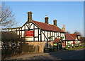
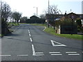
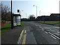
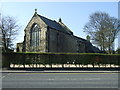
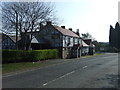
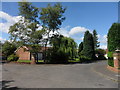
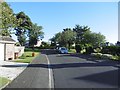
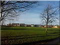
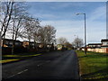
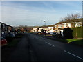
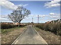

24 photos from this area
Area Information
Key information about the NE5 1SZ including its size, population, and administrative classification.
- Area Type
- Postcode
- Area Size
- 9717 m²
- Population
- 1599
- Population Density
- 164553 people/km²
House Prices in NE5 1SZ
12
Properties
£256,705
Average Sold Price
£164,000
Lowest Price
£380,000
Highest Price
Showing 12 properties
| Address | Type | Beds | Baths | Last Sale Price | Last Sale Date | |
|---|---|---|---|---|---|---|
| 55 Hartburn Drive, Chapel Park, Newcastle Upon Tyne, NE5 1SZ | Semi-detached | 4 | 2 | £340,000 | Jan 2025 | |
| 46 Hartburn Drive, Chapel Park, Newcastle Upon Tyne, NE5 1SZ | Semi-detached | 3 | 1 | £240,000 | May 2024 | |
| 50 Hartburn Drive, Chapel Park, Newcastle Upon Tyne, NE5 1SZ | house | - | - | £355,000 | Jan 2023 | |
| 57 Hartburn Drive, Chapel Park, Newcastle Upon Tyne, NE5 1SZ | Detached | 5 | 2 | £380,000 | Jun 2022 | |
| 53 Hartburn Drive, Chapel Park, Newcastle Upon Tyne, NE5 1SZ | house | - | - | £303,000 | Feb 2021 | |
| 42 Hartburn Drive, Chapel Park, Newcastle Upon Tyne, NE5 1SZ | Semi-detached | 5 | - | £218,500 | Nov 2015 | |
| 52 Hartburn Drive, Chapel Park, Newcastle Upon Tyne, NE5 1SZ | Semi-detached | 3 | - | £164,000 | Sep 2014 | |
| 54 Hartburn Drive, Chapel Park, Newcastle Upon Tyne, NE5 1SZ | Semi-detached | 3 | - | £190,000 | May 2014 | |
| 51 Hartburn Drive, Chapel Park, Newcastle Upon Tyne, NE5 1SZ | Bungalow | - | - | £176,550 | Nov 2012 | |
| 56 Hartburn Drive, Chapel Park, Newcastle Upon Tyne, NE5 1SZ | house | - | - | £200,000 | Mar 2009 |
Page 1 of 2
Energy Efficiency in NE5 1SZ
Amenities
Schools
| Rank | School | Type | Entry gender | Ages |
|---|
Explore more schools in this area
Go to Schools tabDemographics
Household Size
Two person
most common
Accommodation Type
Houses
most common
Tenure
85
majority
Ethnic Group
White
most common
Religion
N/A
most common
Household Composition
N/A
most common
Age
47
median
Adults (30-64 years)
most common
Household Deprivation
N/A
with no deprivation
NS-SEC
36
in Lower managerial occupations
Explore more demographic insights in this area
Go to Demographics tabPlanning
Planning Constraints
- Flood RiskPremium
- Ramsar Wetland SitesPremium
- Area of Outstanding Natural BeautyPremium
- Protected Nature ReservePremium
- Protected WoodlandPremium