Area Overview for NE48 2DT
Photos of NE48 2DT
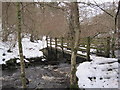
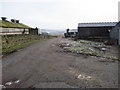
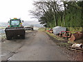
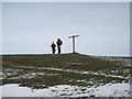
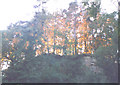
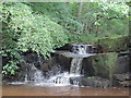
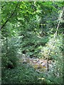
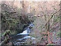
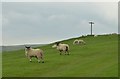
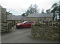
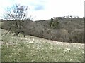
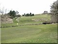
45 photos from this area
Area Information
Key information about the NE48 2DT including its size, population, and administrative classification.
- Area Type
- Postcode
- Area Size
- 2.1 km²
- Population
- 2183
- Population Density
- 12 people/km²
House Prices in NE48 2DT
9
Properties
£306,250
Average Sold Price
£200,000
Lowest Price
£495,000
Highest Price
Showing 9 properties
| Address | Type | Beds | Baths | Last Sale Price | Last Sale Date | |
|---|---|---|---|---|---|---|
| The Old Chapel, B 6320 Bellingham Main Road, Bellingham, NE48 2DT | Detached | 4 | 2 | £495,000 | May 2023 | |
| Brookleigh, Reenes Farm Access Track, Bellingham, NE48 2DT | Bungalow | 2 | 1 | £230,000 | Jun 2020 | |
| The Old Manse, B 6320 Bellingham To Otterburn, Bellingham, NE48 2DT | house | - | - | £300,000 | Aug 2017 | |
| Haining Rigg, B 6320 Bellingham To Otterburn, Bellingham, NE48 2DT | house | - | - | £200,000 | Feb 2002 | |
| Fernwood, B 6320 Bellingham To Otterburn, Bellingham, NE48 2DT | Bungalow | 3 | 3 | - | - | |
| The Old School, B 6320 Bellingham To Otterburn, Bellingham, NE48 2DT | house | - | - | - | - | |
| Boggle Hole Cottage, B 6320 Bellingham To Otterburn, Bellingham, NE48 2DT | house | - | - | - | - | |
| Greenhead Cottage, B 6320 Bellingham To Otterburn, Bellingham, NE48 2DT | Detached | - | - | - | - | |
| The Flat, Bellingham Golf Club, Boggle Hole, Bellingham, NE48 2DT | Flat | - | - | - | - |
Energy Efficiency in NE48 2DT
Amenities
Schools
| Rank | School | Type | Entry gender | Ages |
|---|
Explore more schools in this area
Go to Schools tabDemographics
Household Size
Two person
most common
Accommodation Type
Houses
most common
Tenure
62
majority
Ethnic Group
White
most common
Religion
N/A
most common
Household Composition
N/A
most common
Age
47
median
Adults (30-64 years)
most common
Household Deprivation
N/A
with no deprivation
NS-SEC
31
in Lower managerial occupations
Explore more demographic insights in this area
Go to Demographics tabPlanning
Planning Constraints
- Flood RiskPremium
- Ramsar Wetland SitesPremium
- Area of Outstanding Natural BeautyPremium
- Protected Nature ReservePremium
- Protected WoodlandPremium