Area Overview for NE48 1HG
Photos of NE48 1HG
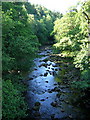
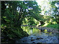
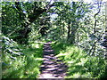
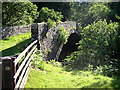
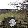
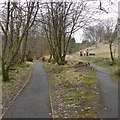
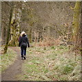
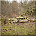
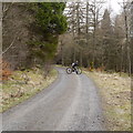
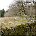
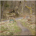
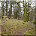
61 photos from this area
Area Information
Key information about the NE48 1HG including its size, population, and administrative classification.
- Area Type
- Postcode
- Area Size
- 2.0 hectares
- Population
- 1578
- Population Density
- 2 people/km²
House Prices in NE48 1HG
25
Properties
£121,786
Average Sold Price
£23,000
Lowest Price
£205,000
Highest Price
Showing 25 properties
| Address | Type | Beds | Baths | Last Sale Price | Last Sale Date | |
|---|---|---|---|---|---|---|
| 17 South End, Butteryhaugh, NE48 1HG | Terraced | 3 | 1 | £98,000 | Mar 2025 | |
| 28 South End, Butteryhaugh, NE48 1HG | Terraced | 3 | 1 | £122,000 | Mar 2023 | |
| 13 South End, Butteryhaugh, NE48 1HG | Terraced | 3 | 1 | £175,000 | Dec 2022 | |
| 10 South End, Butteryhaugh, NE48 1HG | house | - | - | £205,000 | Dec 2022 | |
| 7 South End, Butteryhaugh, NE48 1HG | Retail | 3 | 1 | £171,000 | Sep 2022 | |
| 11 South End, Butteryhaugh, NE48 1HG | house | - | - | £130,000 | Oct 2021 | |
| 22 South End, Butteryhaugh, NE48 1HG | house | - | - | £125,000 | Jun 2021 | |
| 32 South End, Butteryhaugh, NE48 1HG | Terraced | 3 | 1 | £140,000 | Jan 2021 | |
| 24 South End, Butteryhaugh, NE48 1HG | Terraced | 3 | 1 | £90,000 | Jun 2020 | |
| 16 South End, Butteryhaugh, NE48 1HG | Terraced | 3 | 2 | £86,000 | Jun 2019 |
Page 1 of 3
Energy Efficiency in NE48 1HG
Amenities
Schools
| Rank | School | Type | Entry gender | Ages |
|---|
Explore more schools in this area
Go to Schools tabDemographics
Household Size
Two person
most common
Accommodation Type
Houses
most common
Tenure
67
majority
Ethnic Group
White
most common
Religion
N/A
most common
Household Composition
N/A
most common
Age
47
median
Adults (30-64 years)
most common
Household Deprivation
N/A
with no deprivation
NS-SEC
28
in Lower managerial occupations
Explore more demographic insights in this area
Go to Demographics tabPlanning
Planning Constraints
- Flood RiskPremium
- Ramsar Wetland SitesPremium
- Area of Outstanding Natural BeautyPremium
- Protected Nature ReservePremium
- Protected WoodlandPremium