Area Overview for NE47 9PA
Photos of NE47 9PA
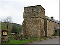
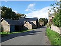
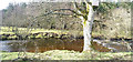
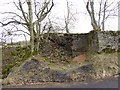
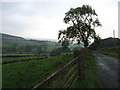

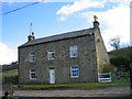
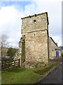
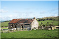
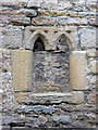
13 photos from this area
Area Information
Key information about the NE47 9PA including its size, population, and administrative classification.
- Area Type
- Postcode
- Area Size
- 1.4 km²
- Population
- 1191
- Population Density
- 8 people/km²
House Prices in NE47 9PA
12
Properties
£320,417
Average Sold Price
£109,000
Lowest Price
£551,000
Highest Price
Showing 12 properties
| Address | Type | Beds | Baths | Last Sale Price | Last Sale Date | |
|---|---|---|---|---|---|---|
| Birken Path, C 291 Leadgate To Thornleygate, Allendale, NE47 9PA | Detached | 4 | - | £480,000 | Sep 2023 | |
| Dryburn Hall, U 8046 Mount Pleasant To Middle Edge, Allendale, NE47 9PA | house | - | - | £551,000 | Jul 2022 | |
| Spring House, C 291 Leadgate To Thornleygate, Allendale, NE47 9PA | house | - | - | £365,000 | Sep 2019 | |
| Wall Nook, C 291 Leadgate To Thornleygate, Allendale, NE47 9PA | Detached | 5 | - | £275,000 | Dec 2014 | |
| High House, C 291 Leadgate To Thornleygate, Allendale, NE47 9PA | Detached | 1 | 1 | £142,500 | Jul 2003 | |
| Leadgate, Leadgate Bank, Allendale, NE47 9PA | house | - | - | £109,000 | Nov 1995 | |
| Mount Pleasant, C 291 Leadgate To Thornleygate, Allendale, NE47 9PA | Detached | 5 | - | - | - | |
| Far Dryburn, C 291 Ninebanks To Leadgate, Allendale, NE47 9PA | Detached | - | - | - | - | |
| Milescott Farm, Leadgate Bank, Allendale, NE47 9PA | house | - | - | - | - | |
| 1, New Houses, C 291 Leadgate To Thornleygate, Allendale, NE47 9PA | Semi-detached | - | - | - | - |
Page 1 of 2
Energy Efficiency in NE47 9PA
Amenities
Schools
| Rank | School | Type | Entry gender | Ages |
|---|
Explore more schools in this area
Go to Schools tabDemographics
Household Size
Two person
most common
Accommodation Type
Houses
most common
Tenure
79
majority
Ethnic Group
White
most common
Religion
N/A
most common
Household Composition
N/A
most common
Age
47
median
Adults (30-64 years)
most common
Household Deprivation
N/A
with no deprivation
NS-SEC
40
in Lower managerial occupations
Explore more demographic insights in this area
Go to Demographics tabPlanning
Planning Constraints
- Flood RiskPremium
- Ramsar Wetland SitesPremium
- Area of Outstanding Natural BeautyPremium
- Protected Nature ReservePremium
- Protected WoodlandPremium