Area Overview for NE47 8AW
Photos of NE47 8AW
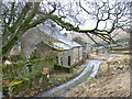
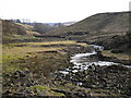
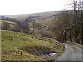
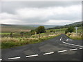
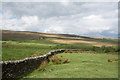
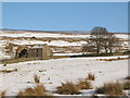
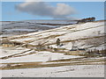
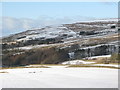
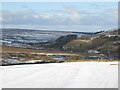
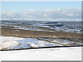
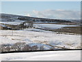
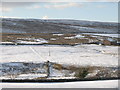
35 photos from this area
Area Information
Key information about the NE47 8AW including its size, population, and administrative classification.
- Area Type
- Postcode
- Area Size
- 46.4 hectares
- Population
- 1191
- Population Density
- 8 people/km²
House Prices in NE47 8AW
8
Properties
£394,500
Average Sold Price
£230,000
Lowest Price
£500,000
Highest Price
Showing 8 properties
| Address | Type | Beds | Baths | Last Sale Price | Last Sale Date | |
|---|---|---|---|---|---|---|
| Low Hartley Cleugh, C 291 Hartleycleugh Junction To Limestone Brae House Junction, Carrshield, NE47 8AW | house | - | - | £350,000 | Jul 2023 | |
| South View, C 294 County Boundary To Thornley Gate, Allendale, NE47 8AW | Detached | 6 | 3 | £467,500 | Feb 2021 | |
| Low Turneyshield, C 291 Hartleycleugh Junction To Limestone Brae House Junction, Carrshield, NE47 8AW | Detached | 6 | 3 | £500,000 | Jun 2019 | |
| High Turney Shield, C 294 County Boundary To Thornley Gate, Allendale, NE47 8AW | Detached | - | - | £425,000 | Jul 2006 | |
| Ringing Hills, C 294 County Boundary To Thornley Gate, Allendale, NE47 8AW | Detached | - | - | £230,000 | Jul 1999 | |
| The Bastle House, C 291 Hartleycleugh Junction To Limestone Brae House Junction, Carrshield, NE47 8AW | Detached | 5 | 2 | - | - | |
| Byre, South View, C 294 County Boundary To Thornley Gate, Allendale, NE47 8AW | Semi-detached | - | - | - | - | |
| High Hartley Cleugh, C 294 County Boundary To Thornley Gate, Allendale, NE47 8AW | Detached | - | - | - | - |
Energy Efficiency in NE47 8AW
Amenities
Schools
| Rank | School | Type | Entry gender | Ages |
|---|
Explore more schools in this area
Go to Schools tabDemographics
Household Size
Two person
most common
Accommodation Type
Houses
most common
Tenure
79
majority
Ethnic Group
White
most common
Religion
N/A
most common
Household Composition
N/A
most common
Age
47
median
Adults (30-64 years)
most common
Household Deprivation
N/A
with no deprivation
NS-SEC
40
in Lower managerial occupations
Explore more demographic insights in this area
Go to Demographics tabPlanning
Planning Constraints
- Flood RiskPremium
- Ramsar Wetland SitesPremium
- Area of Outstanding Natural BeautyPremium
- Protected Nature ReservePremium
- Protected WoodlandPremium